Finally, the Coast

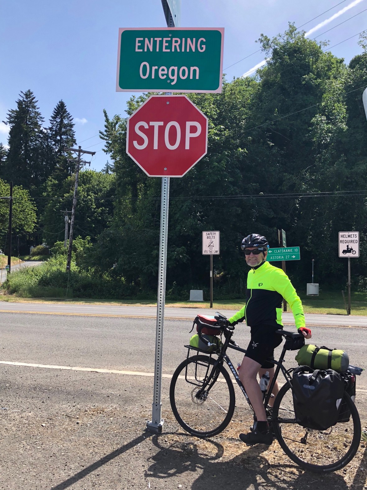
The rest day in Ass-toria (hey, that’s how they say it) had the desired effect. We enjoyed a leisurely breakfast, for a change, browsed in a bookstore, found a bike shop, and checked out four of the five breweries (one was closed for a family emergency). Did some routine bike maintenance, washed some clothes, packed again–and then after a long sleep, we took off with fairly fresh legs, feeling ready for a new state.

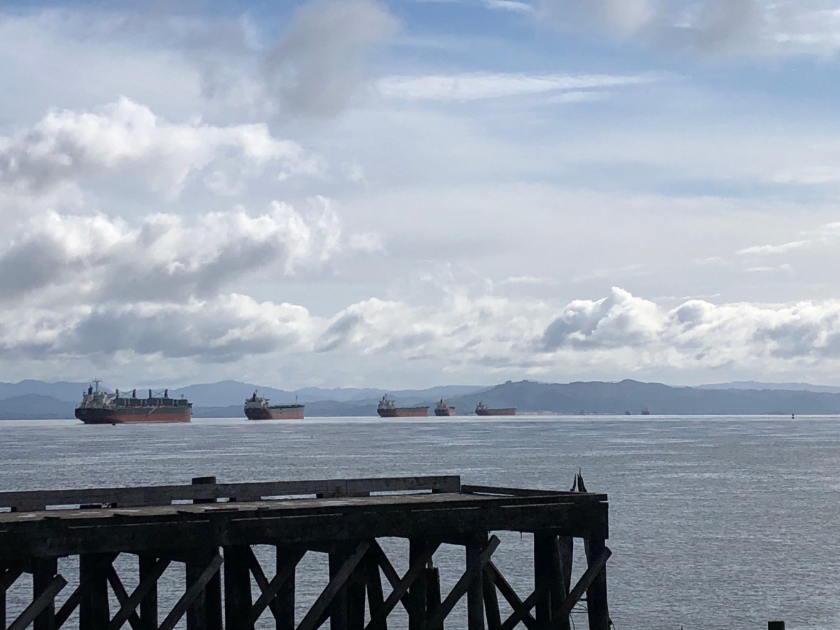
Freighters lined up on the Columbia River at Astoria, headed for Portland. “Gasoline goin’ up, wheat comin’ down.” (Woody Guthrie, “Talkin’ Columbia Blues”)

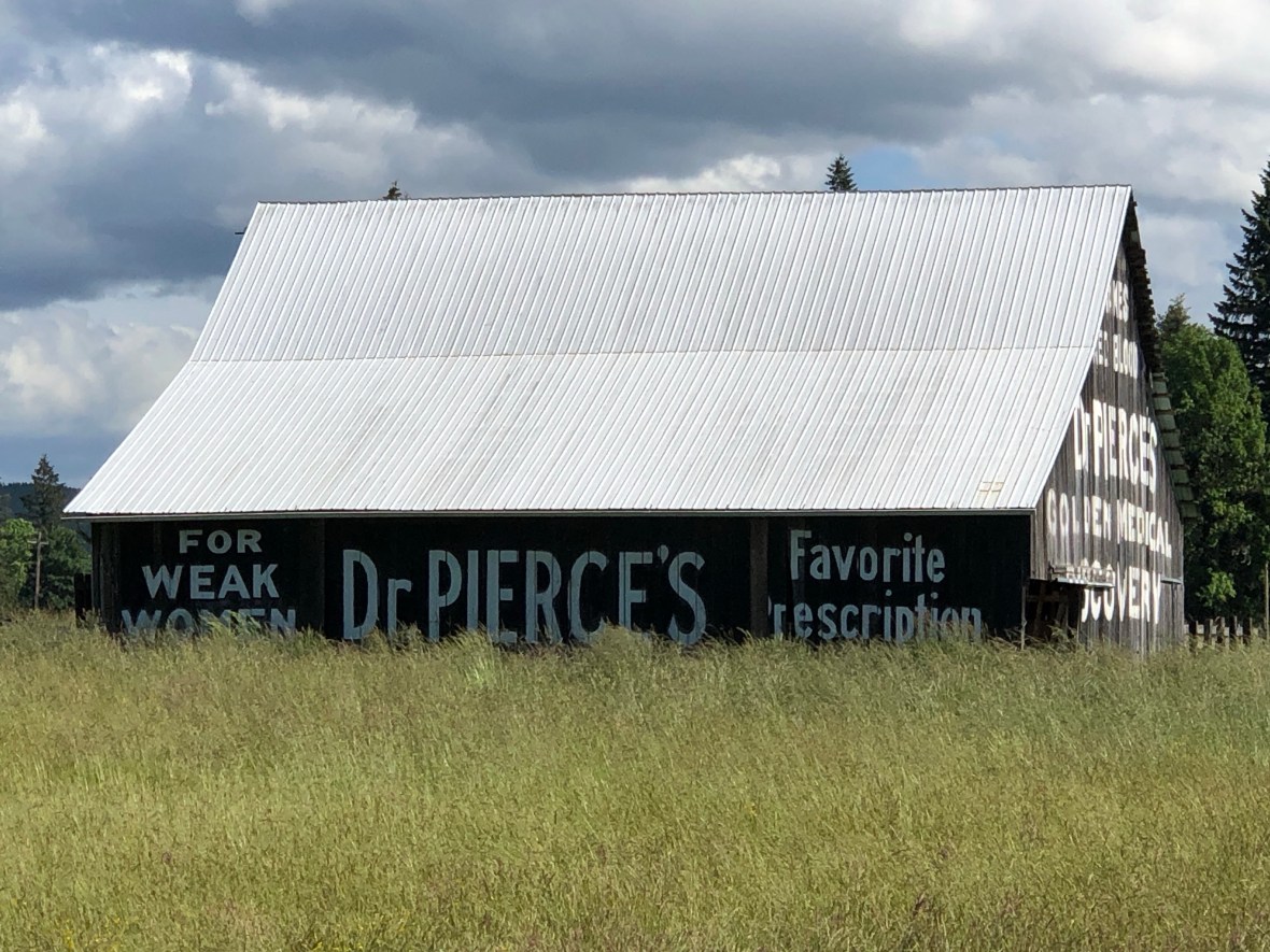
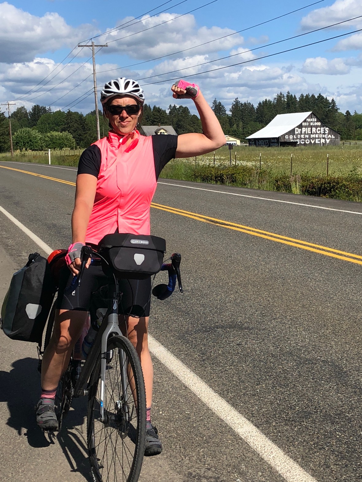
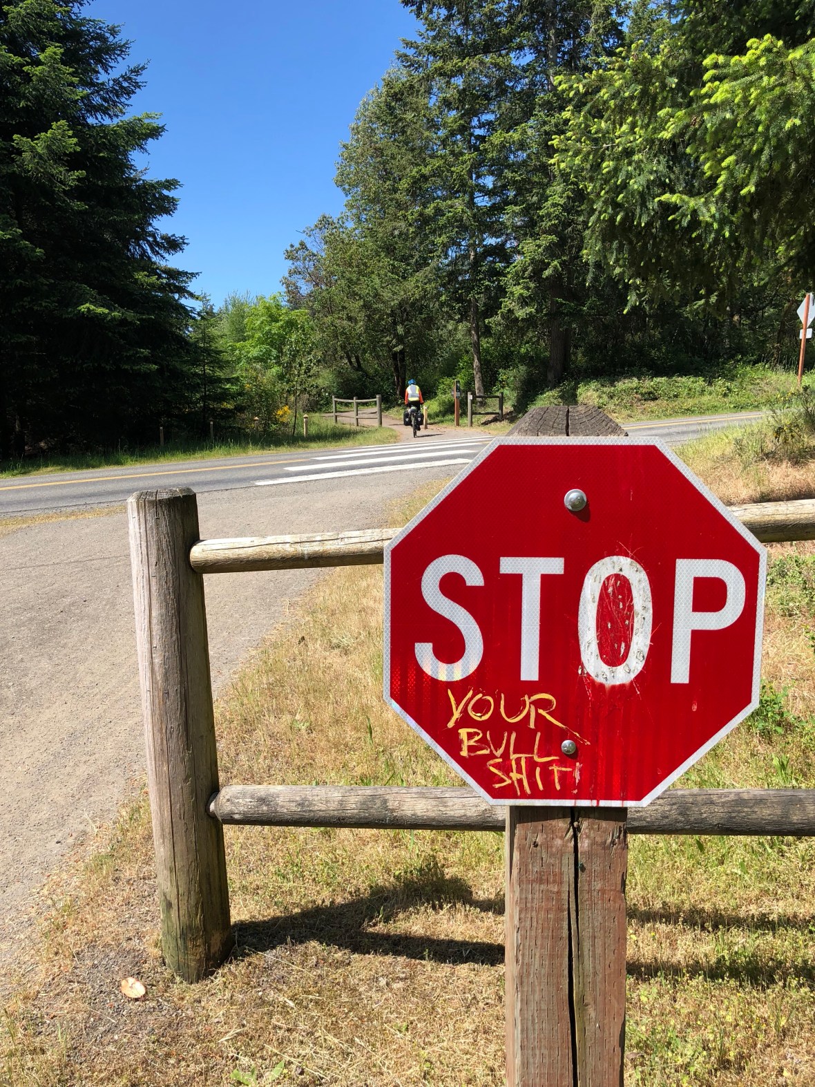
Some years back, the Oregon tourism office thought up a reverse-psychology campaign: one image was a map showing I-5 bypassing the state, the implication being that they didn’t need or want your business; the other, a drawing of a bicyclist wearing a mask and snorkel, with the caption “Last year in Oregon 530 people fell off their bicycles — and drowned” (i.e. it’s so wet you don’t want to move here).

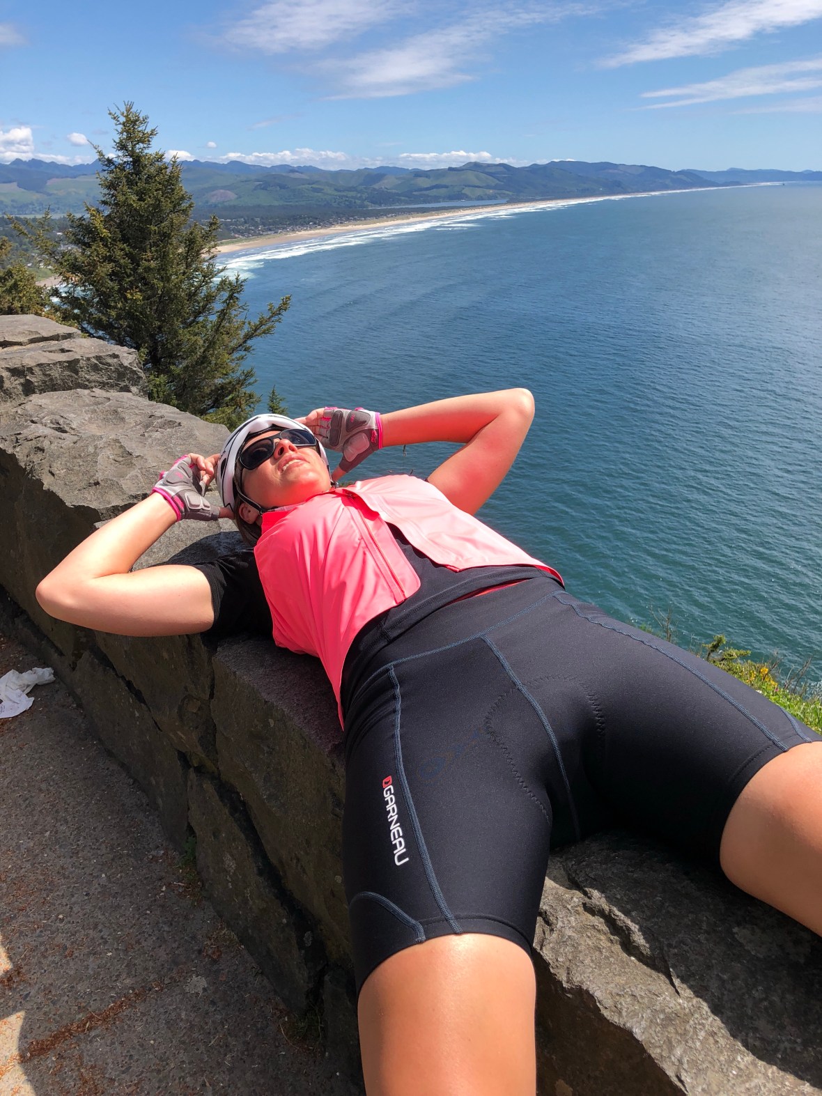
Lies, all lies. We rolled out of Astoria on a cold morning under thick lowering gray clouds, but by the time we threaded through some shabby and depressing outskirts, passed the site of Lewis & Clark’s winter HQ, and reached the actual Pacific Coast 20 miles later at Seaside, the sun was out and the rest of the day was astoundingly, superbly, and yes, given the forecast, surprisingly clear; and even, on the climbs at least, warm enough to shed layers and lather on the sunscreen.

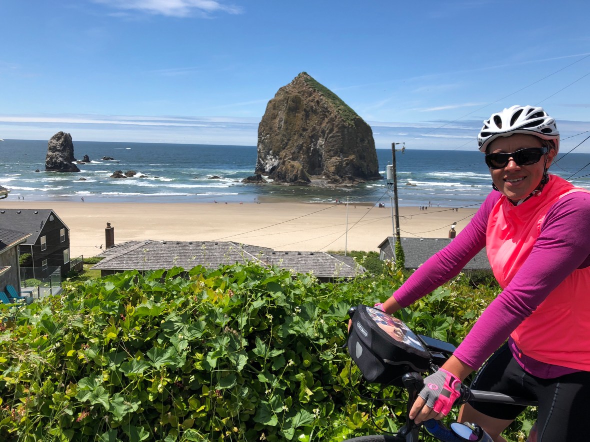
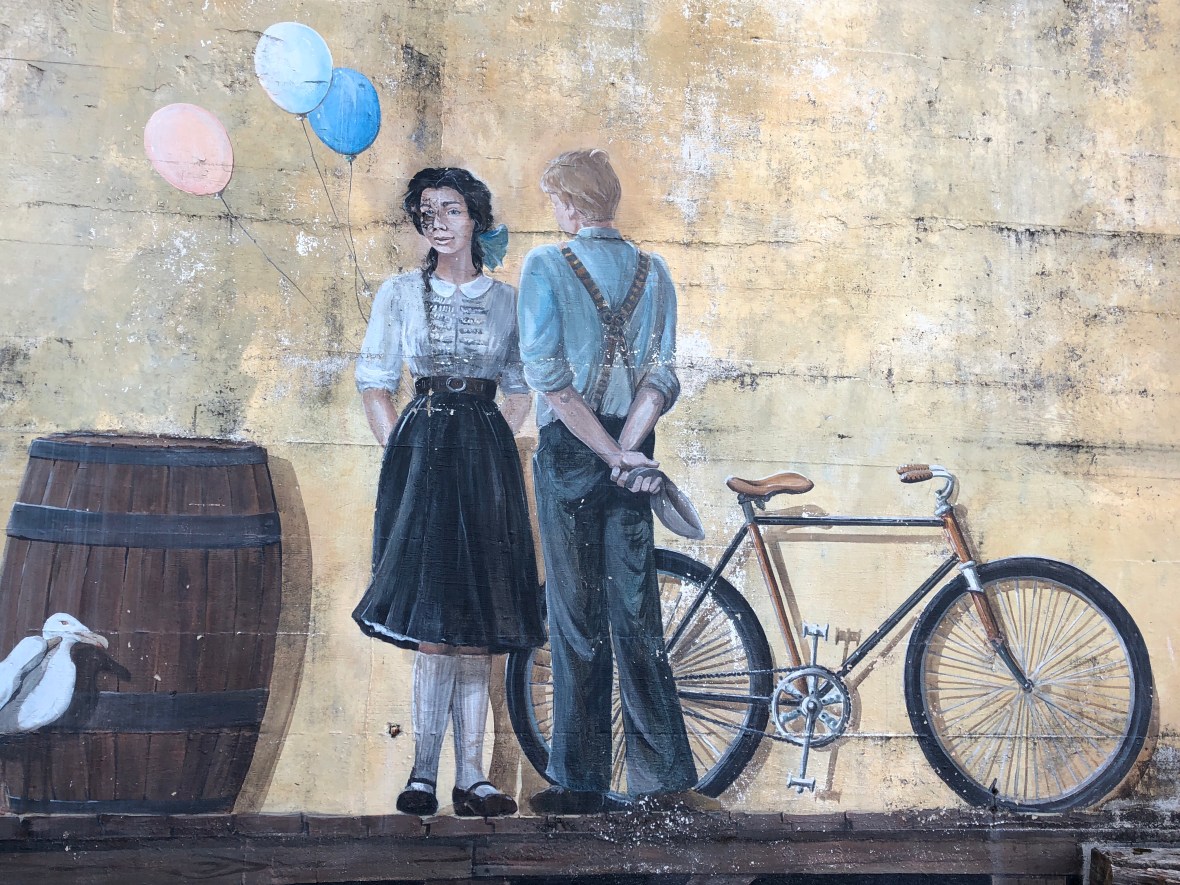
Seaside featured a lovely beachside bike path, and just a few miles south was Cannon Beach, where we lunched at a brewpub (sans brew). It felt touristy and cute, in a nice way, the kind of little New Englandy saltbox village where we might want to escape for a week some hot Reno summer. Just outside of town, we saw our first sea stacks.

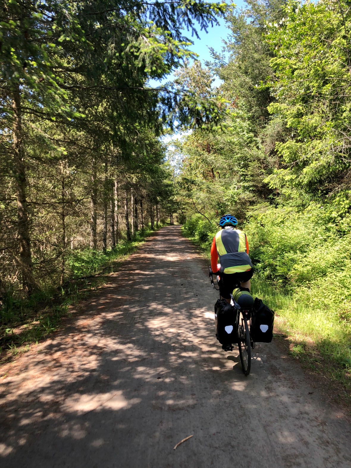
Through the dreaded Arch Cape tunnel, not nearly as bad as we had been warned, and a couple more big climbs until the route leveled off, relatively, and we played peek-a-boo with beautiful beaches and peaceful sloughs, punctuated by a few friendly little towns.

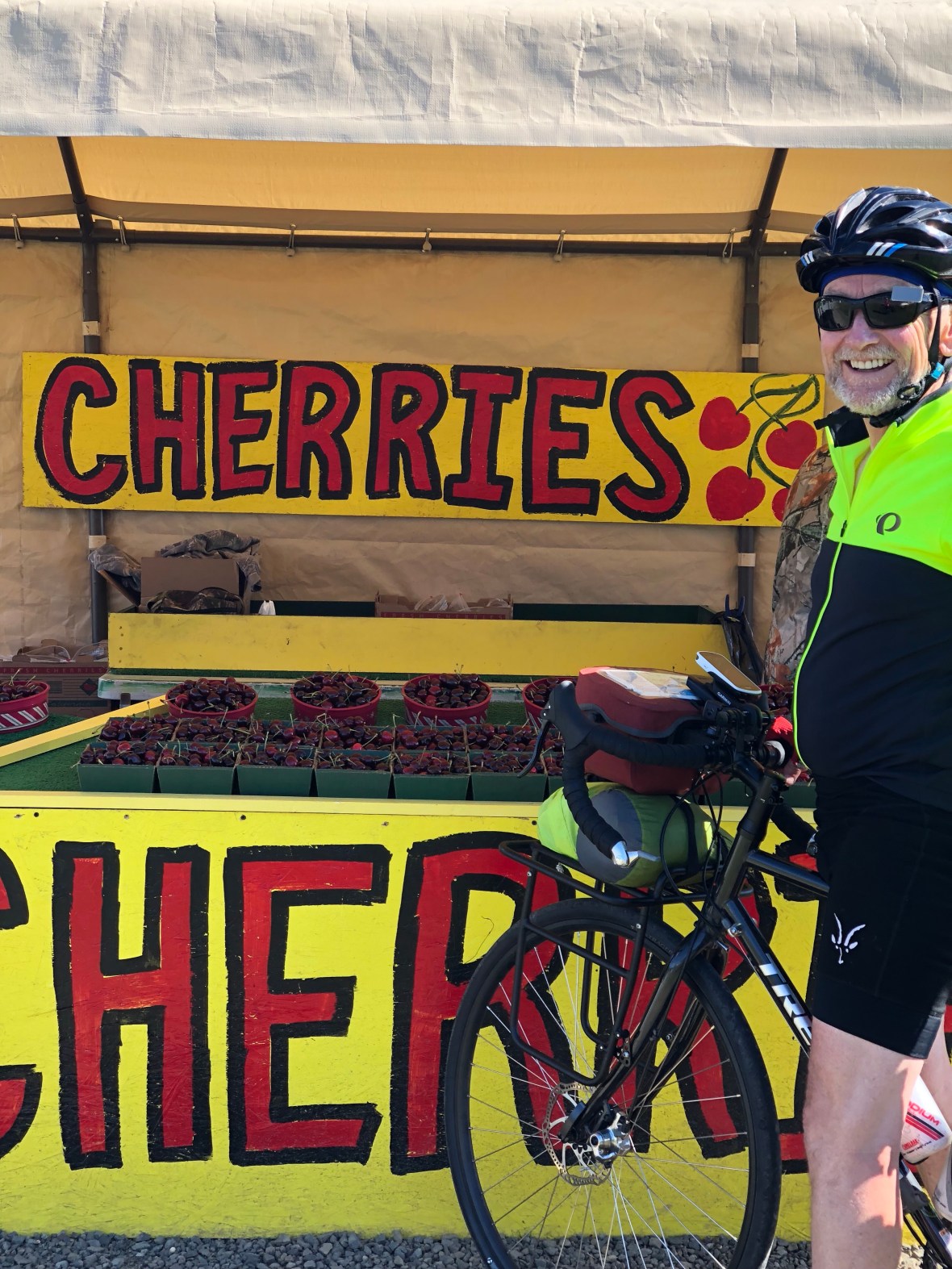
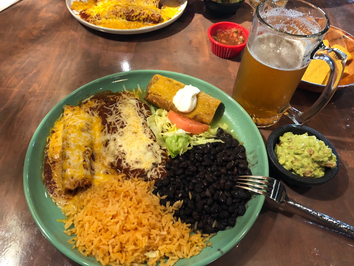
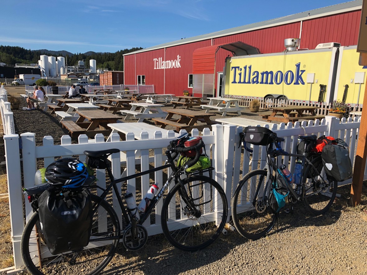
Finally, handlebar bag packed full of local fruit, we arrived at Tillamook, and just a mile before our motel, stopped at the eponymous dairy for ice cream, first of the tour. Even the pervasive north Tillamoooook smell of silage — fermented fodder that smells a lot like cowshit, spread on the fields–didn’t dampen our enthusiasm for a meal and a few pints at Pelican Brewing Company.


Today’s stats: 71.3 miles, 3425′ of up, in 5 hours 57 minutes.

PS: Chamois cream 1, monkey butt 0.

On to Ass-toria

It was a cold gray morning in Castle Rock, WA, with thick cloud cover and a stiff breeze. After a couple of Subway breakfast sandwiches—way more appetizing than the Burger King greasestains we had inflicted upon our stomachs the morning before—we were off, around 9:30.

The chilly day started the way you don’t want a chilly day to start: a long downhill, which ended when we cut right to join a bike path populated otherwise by dog-walkers.

The weather warmed up some, the sun shone much of the time, but a steady 8-10mph headwind cooled us as much as it slowed us. We were grateful for a dozen easy miles to Kelso, which had the last gas station—for water, nuts, and bathrooms—for a while. The bike lane in Kelso was nothing other than a sidewalk, which we rode for a couple of miles, dodging men on riding lawnmowers and feeling six years old again.

There is a moment every day—in this pre-callused phase of the tour—when it’s none too comfortable to touch one’s butt to one’s saddle. That moment comes a little earlier every day. That’s where chamois cream comes in, a bum-lotion specially designed to reduce chafing….We’re not sure how much it helps, but we know it might help, and knowing it might help really helps. That said, chamois cream creates a moderately disconcerting sensation—think riding around in a diaper full of margarine.

Other aches and pains we never imagined: the numbness in hands, wrists and arms; the stiffness of the neck and shoulders; the runny nose and watery eyes from inhaling god knows how much roadside pollen. All this, including the above exquisitely described monkey butt, combines with the general weariness of the legs and sense of caloric deficit when peering down the road at the next big hill, spiraling up and over some forested ridgetop maybe 40 or 50 miles into a 70-mile day. Those hills always look, in the distance, like asphalt walls. We pretend to be undaunted, and pedal on.

Today, at least, the climbs were well-graded, 5 or 6%, and the highway shoulders wide and mostly smooth, especially once we were rolling along the mighty Columbia River, at first on the Washington side, then after a 30-minute ferry ride, on the Oregon side. Except for Kelso, very rural: small towns, long stretches of road with no services and little habitation, lots of logging trucks, and a few districts of elegant homes perched high above the river.

This was more or less the route taken 213 years ago by the Lewis and Clark expedition, who ended their westward journey with a miserably cold and rainy winter at Fort Clatsop, just south of here. We, on the other hand, got out of Washington without being rained on at all.

As we neared Astoria, still riding into that persistent headwind, signs of modern civilization increased along with the maritime haze signaling one of the world’s great land-sea convergences at the mouth of the Columbia River, spanned by a big bridge said to be very scary for bicyclists, so thank Wahkiakum County for the ferry, the last one to be still operating on this river.

Here in Astoria, where we sit enjoying the amazing view at Buoy Beer Co., the Columbia is as wide as a large lake, wind-whipped, lined with freighters and tankers bound upriver for Portland, and surrounded by hills which, alas, day after tomorrow, we will be climbing to get out of here and head down the Oregon coast.

Day 6 totals: 70 miles, 3596′ climbed, and–for the third time in six days– a riding time of 6:14.

Tomorrow is Day 7, and on the seventh day we rest.

Vodka and Cows

Day 5, the longest day yet (and the late spring days are looong this far north) began as we packed up the camping gear and took leave of our lovely hosts at Elma RV. After a quick BK breakfast we rode south along the Chehalis River through an increasingly agrarian landscape: stacks of hay bales wrapped in white plastic, barns and silos, a guy discing his field who waved at us, and grange halls plastered with announcements of Saturday pancake breakfasts.

There’s a dark side, though: Ashley noticed as many vodka bottles discarded along the shoulder as cows and horses in the pastures. And, of course, the occasional sign “FBI=DNC” or “TRUMP-PENCE” — this is, after all, a very conservative state and in many ways, as we ride past overgrown homesteads, abandoned doublewides, piles of junked cars, and long-shuttered and decaying corner stores, very midwestern.

After spending two peaceful miles trying to decide when we’d last encountered a vegetable, we pulled into a Chehalis Indian reservation gas station for a little corrective:

Coming into Centralia felt a little like leaving Kansas and entering Des Moines. We were suddenly negotiating traffic off I-5 and our first logging trucks, mixed with city traffic and commercial sprawl. Safeway proved a good bet for lunch and resupply, after which our Adventure Cycling Pacific Coast route cleverly directed us on side streets, right smack across the local community college campus, back to the rural roads we’ve come to love. Then, a right turn and a 15% grade; we fell out of love with the road fast. No more flat and rolling river roads for a while, but ones with “hill” and “grade” in their names. This paid off, however, when we finally leveled out on a logged-off ridge and caught a glimpse of the snow-streaked slopes of Mt. St. Helens, 35 miles to the north and 38 years after its eruption, the most destructive in US history.

Down off the ridge and we were treated to a lovely flat ride along the Cowlitz River, where pioneers came into southwestern Washington from the Oregon Trail 175 years ago.

The story goes that, back then, the California and Oregon trails diverged near Ft. Hall in present-day Wyoming. The Oregon Trail branch was marked with a sign saying “TO OREGON.” The California branch was indicated by a pile of fool’s gold. Everyone who could read, they say, went to Oregon.

A few surprise hills, but nothing too daunting, and now we’re checked into one of the few motels in Castle Rock, and sitting in Parker’s brewpub eating dinner and watching MLB. Life is good. Tomorrow we head due west to Oregon.


Day 5 stats: 79.2 miles, 2138′ of climbing, average speed 13 mph.

Memorial Day “Rest Day”

We knew it would be a relatively short 50-mile day, and had no reason to hurry to the tiny town of Elma, WA—so we slept in a bit. Breakfasted in the room on fig newtons, a fruit smoothie, and muscle milk (if you imagine dairy-free milk-flavored cough syrup, you won’t be far off the mark).

We rolled out of the Belfair Inn at around 10:30, into a cool gray day that soon turned warm. The worst climb was the first climb, five miles in: it was the steepest we’ve encountered, and it caught us unawares, unable to downshift in time, and even with fresh-ish legs we just barely cranked up it. We were rewarded with a long, hilly, peaceful lakeside road, a long stretch with little traffic and almost no giant pickups, which inevitably gun it as they pass a tad too close.

The riding was uneventful, along forested two-lane rural roads lined with prodigious groves of invasive scotch broom exploding with yellow blossoms, and the miles passed quietly. We entertained ourselves by cataloguing the roadside detritus–today, the usual beer cans, a Quaker Oats container, a water bottle full of cigarette butts, miscellaneous road kill, a pair of men’s underpants, and–best–a Jim Beam coffee mug placed perfectly, upright, on the gravel shoulder.

A mere 25 miles in, a brisk descent into Shelton, expecting a Dairy Queen lunch but happily surprised by a Subway. Gulped down a couple of six-inchers and ambled on, another relatively easy 28 miles along sleepy Cloquallum Creek into the outskirts of Elma.

There we found the one place to camp, the Elma RV Park, whose owner introduced us to the local (female) sheriff, showed us our site and the free pile of firewood, and gave us two baggies of homemade cookies. For $10 we got a perfect spot, complete with the cleanest bathrooms we’ve ever seen camping. We set up camp, showered (a quarter for 3 minutes), and walked half a mile this sunny, breezy early evening to the Rusty Tractor for dinner (“family restaurant” a euphemism for “no beer” which one might expect across the highway from the LDS temple).

So as soon as we finish our burgers, we’ll hit the gas station convenience store, then back with a bag of beer for some Phase-10 around the campfire. Planning an early start for what will be, with luck, the penultimate Washington ride.

Day 4 totals: 52.8 miles, 1953 feet of climbing.

Ashley’s postscript: today is the anniversary of my femur/hip-crunching bike wreck. I worried, that night, that I’d never ride right again. Rolling along today, I thought not at all about the hardware holding my femural neck in place. So cheers to my talented surgeon, and to the remarkable healing capacity of the human body.

Day 3: The Mountain Was Out

A couple of bike tourists could be easily fooled into moving to the Pacific Northwest based on today’s weather: cloudless and warm, spring foliage in full bloom, and in the distance, 14,400-foot Mt. Rainier looming over all, in very rare full view.

After a wild night of IPA and deep-fried fresh seafood at historic and very social Toby’s Tavern in Coupeville, and a good night’s sleep with the windows opened wide, we geared up, checked out, and rolled across Whidbey Island to the ferry terminal to wait 75 minutes for the 10:15 to Port Townsend, a 30-minute crossing of Puget Sound.

Fueled by Gatorade and a couple of sandwiches picked up on the cheap in a super-local market, we pedaled along the mostly packed gravel Larry Scott Memorial Trail, a gorgeous ride through the woods–which only occasionally left us wishing for full suspension–far from Memorial Day weekend traffic. Good thing we saved half our sandwiches: after a long downhill around mile 20 we realized we’d blown by the last gas station for another 20 miles, and had no chance of further grub. We could climb the hill again, but…. We finished our sandwiches and held out for gas station potatoes at mile 40. They were sublime.

Any portapotty in a storm …

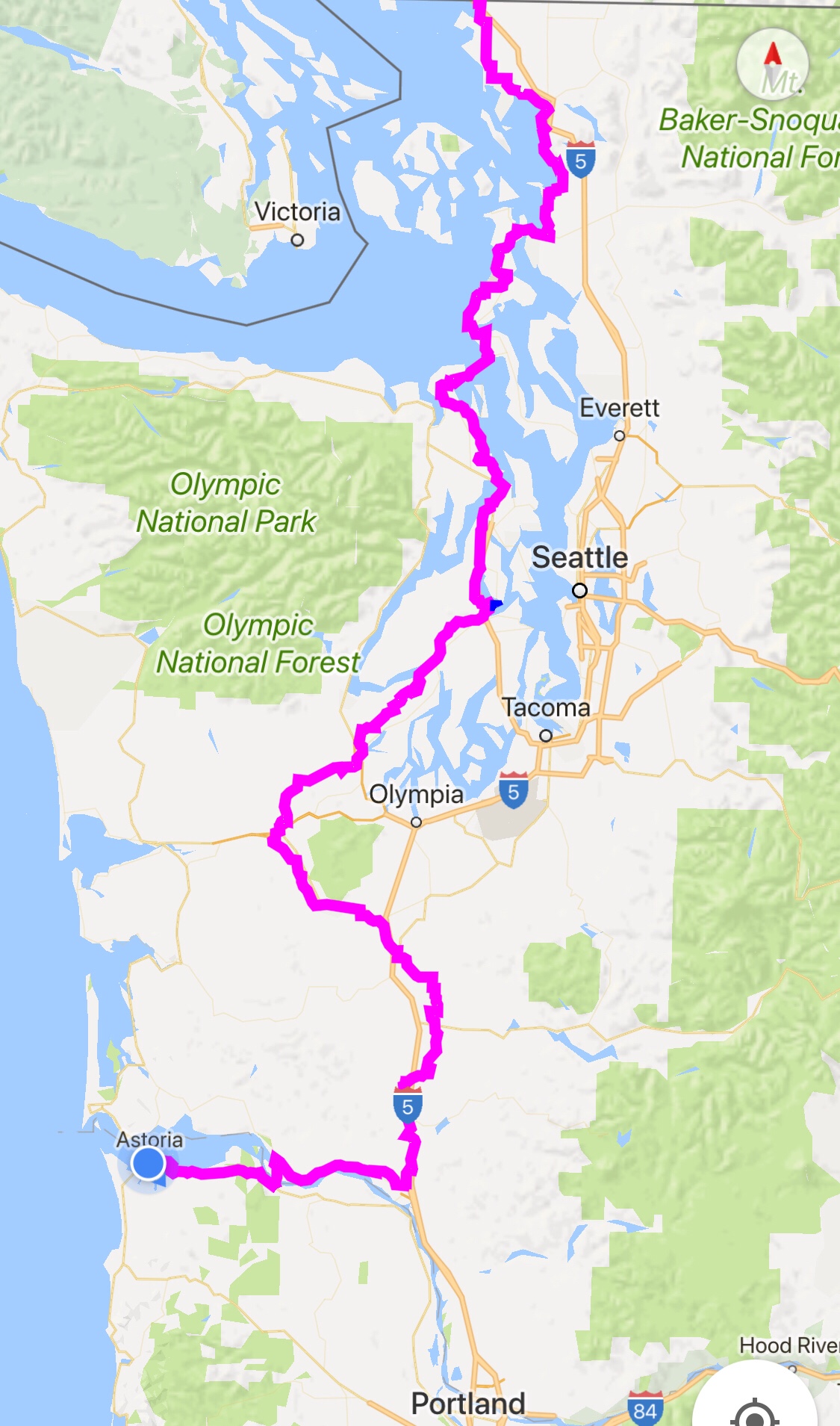
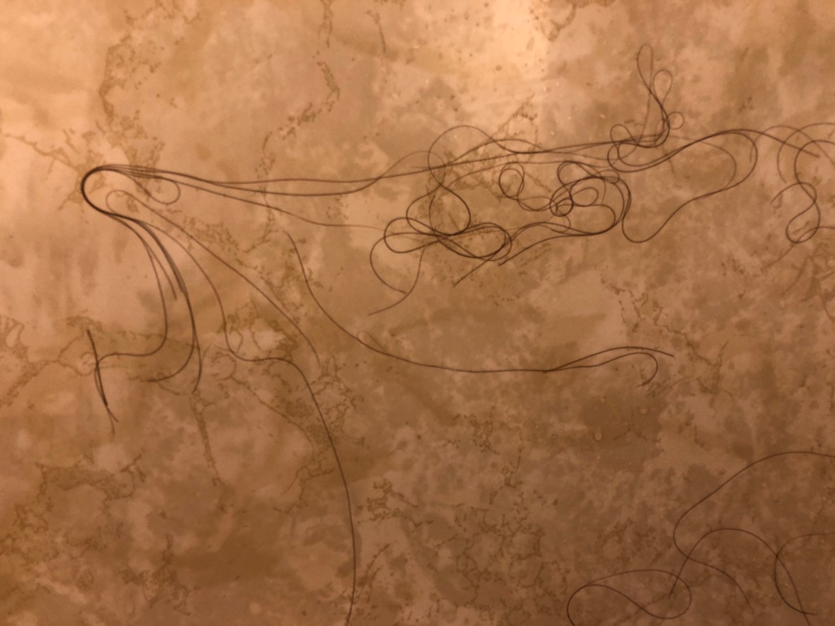
Mile 40 came crossing the Hood Canal and following its east bank south across rolling woodlands into busy Silverdale and Bremerton, and as the long hot (!) Northwestern afternoon turned into a beautiful evening, we rolled into Belfair and the only motel in town, a $63 room with somebody else’s hair all over the shower wall.

Day 3 totals: 74 miles, 3800 feet of climbing. Every road is a new road; every beer is a new beer; every portapotty is a new portapotty. La dolce vita.