Californy’s the place you ought to be!

… so we loaded up our bikes and rode to Crescent City. It wasn’t a long ride, particularly, but lots of steady climbing right from the get-go, over Cape Sebastian and other lesser capes, until 28 miles later we descended into Brookings — which involved two surprisingly big climbs after the city limits sign — for another friendly and satisfying Subway lunch, just a few miles from the border. Another cool, sunny, lovely day.

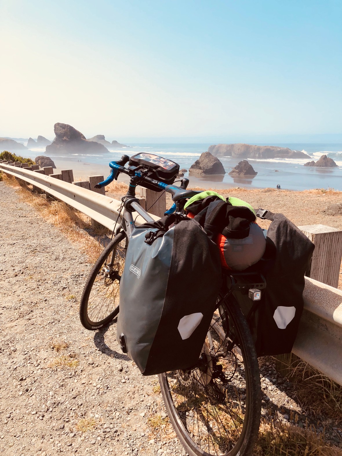
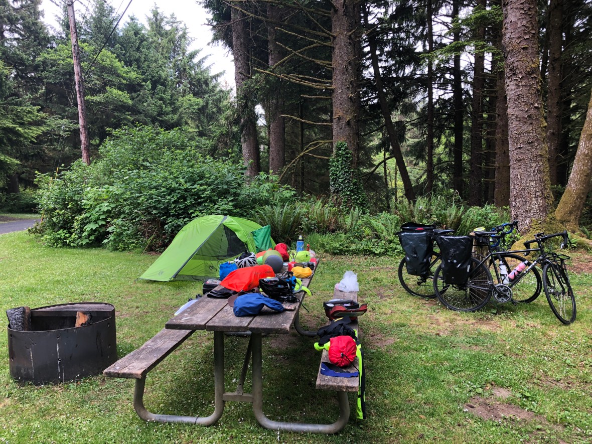
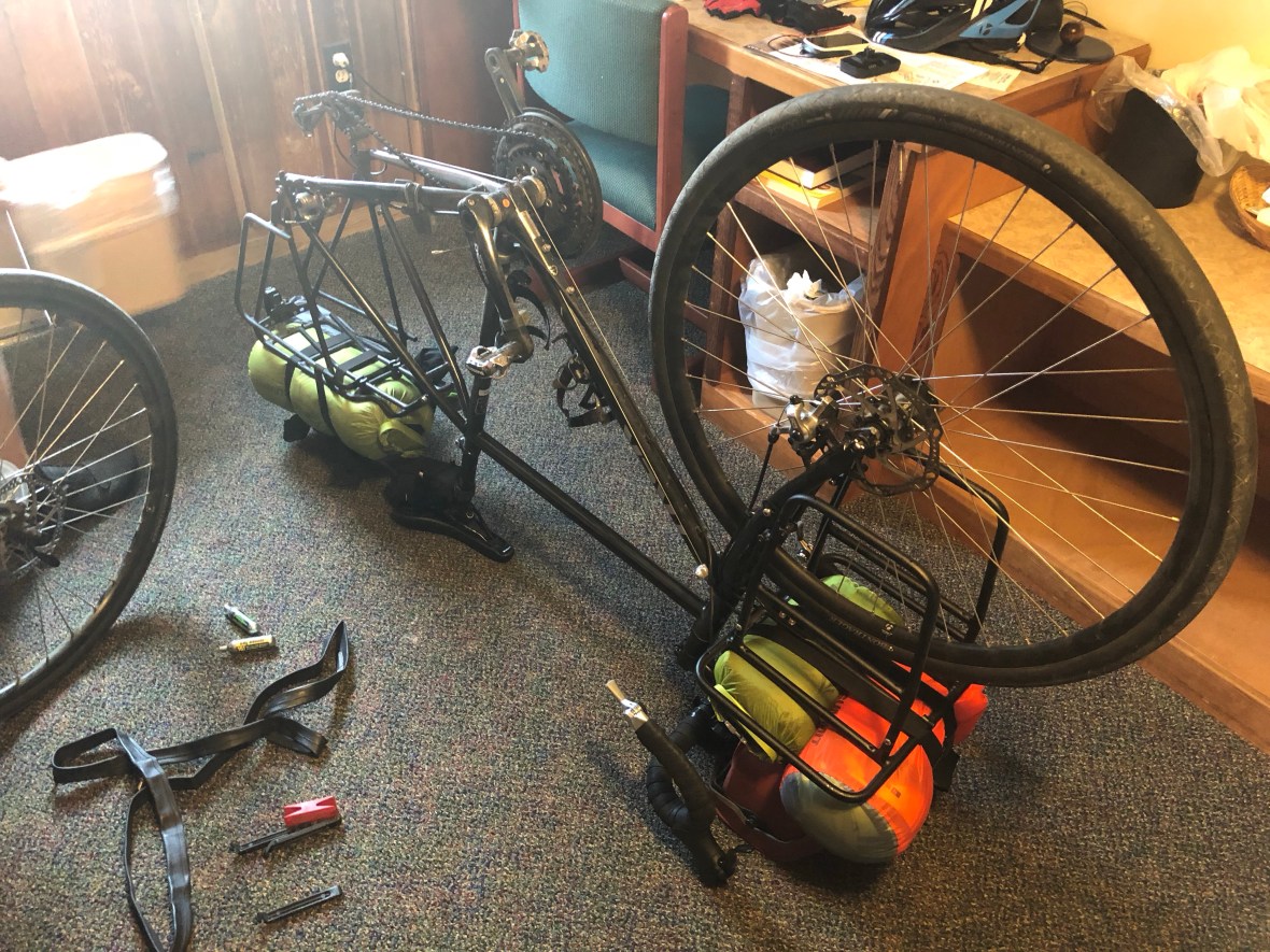
Note the freshly washed shorts drying on the sleeping bag — cleanliness is next to godliness

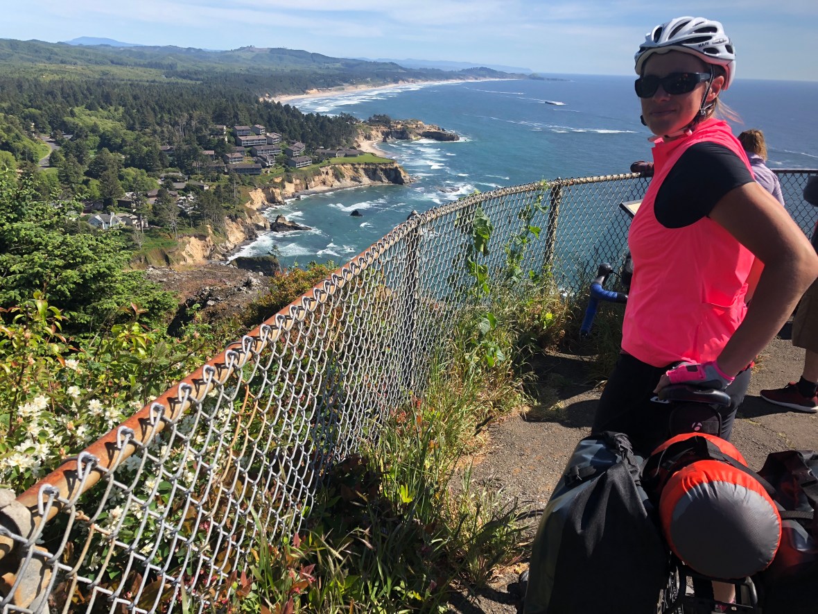
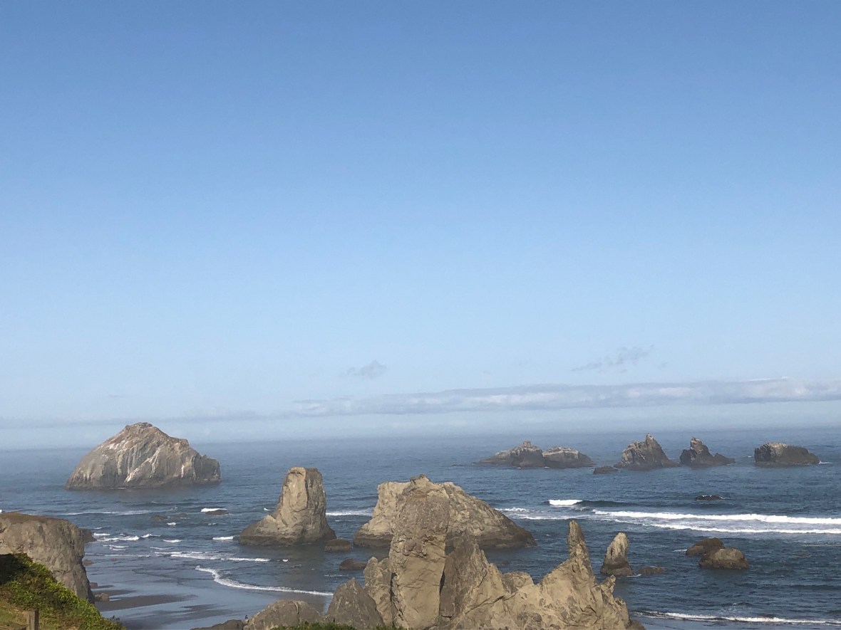
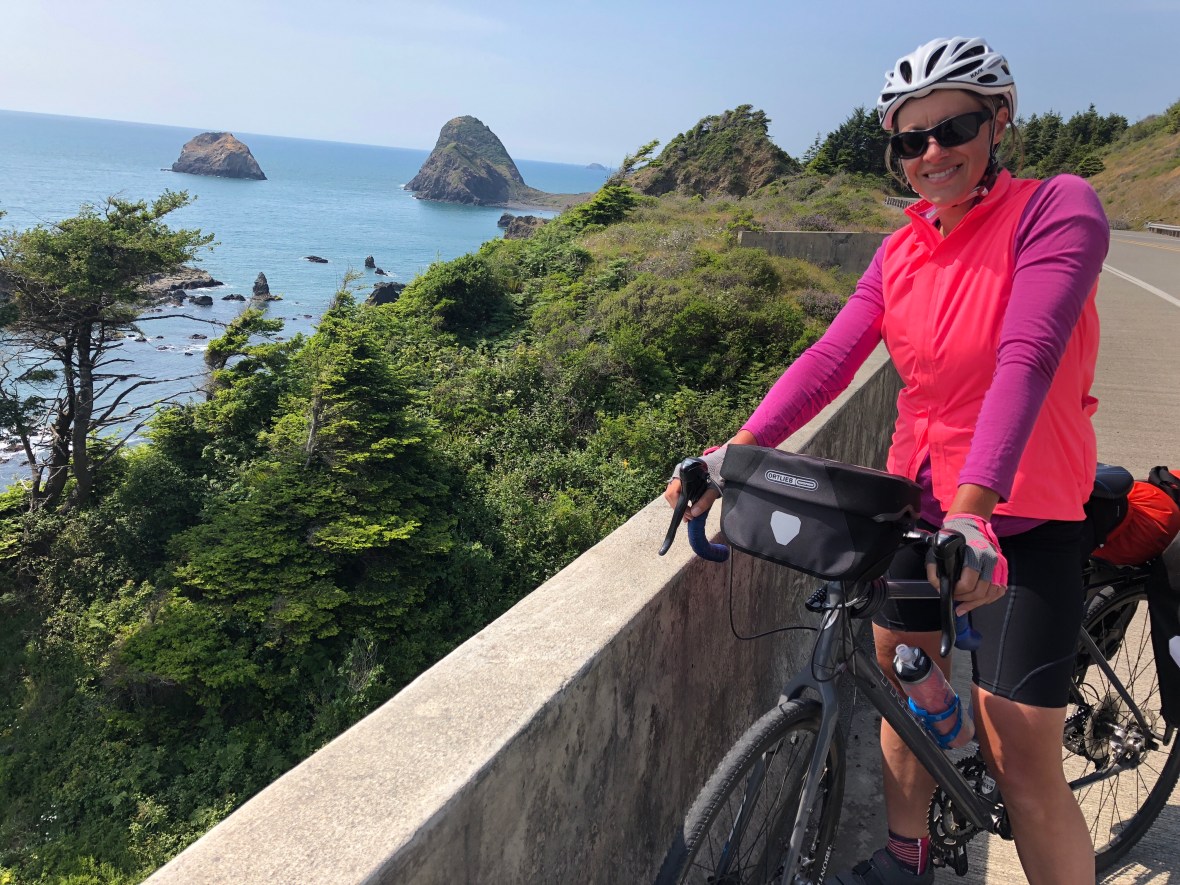
At the Cape Sebastian viewpoint we had our closest encounter with the three young bike tourists from Bend we’ve been calling the “dude bros,” as we tag-teamed them down the coast from north of Port Orford.

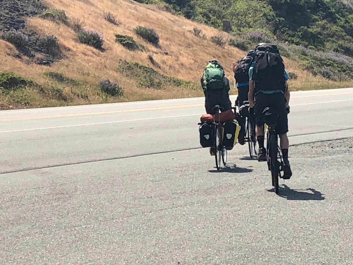
They were as far as we could tell only on a week-long tour, or less, but they had three fat backpacks and four panniers. They were so dirty, they can’t have had a change of clothes, so we figured a tent…and, based on their habits at rest stops, a whole lot of weed. At least half the bags, nothing but skunk, we decided. There was no explanation. Halfway to Brookings they told us that was their final destination, and then they’d hitchhike back to Newport.

We did stop briefly at the Brookings bike shop, which we would NOT recommend to those who follow us, being badly stocked and managed by a kind of drunk and clueless right-wing version of Walter White, who tried to sell us the wrong kind of tubes, excusing himself when we caught him by saying he couldn’t read the text on the box. Really, this guy is who might be working on your bike? As one online reviewer wrote, unless you have a serious breakdown, steer clear of this place. Walter followed us out of the shop, and what follows is a sample of his monologue:

Friend of mine, used to ride a lot, had to get some cancers dug out of his face, all stitched up now, had it done in Costa Rica, they got hospitals down there that look like Star Wars, friend of a friend of mine has a son down there training for their paramilitary force on the border with Nicaragua, those Nicaraguans doing to Costa Rica what the damn Mexicans are doing to the US, coming over to steal their jobs and get on their welfare, you should see the guns they got down there, they get ’em from the US, they got Sigs, man, Sig Sauers, gift of the good ol’ USA!

Et cetera. We rode away while he was still talking.

Along the way we came across three deer, a couple of feet from us across the guardrail, including one fawn. Bambi raced David, adorably, sprinting and hopping, showing how fast *he* could go. That was the highlight of the day, in wildlife terms. The low point was seeing the first dead raccoon.

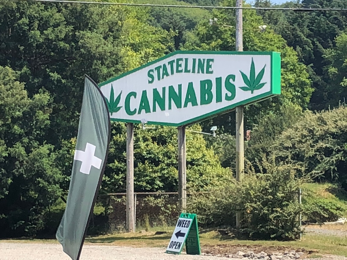
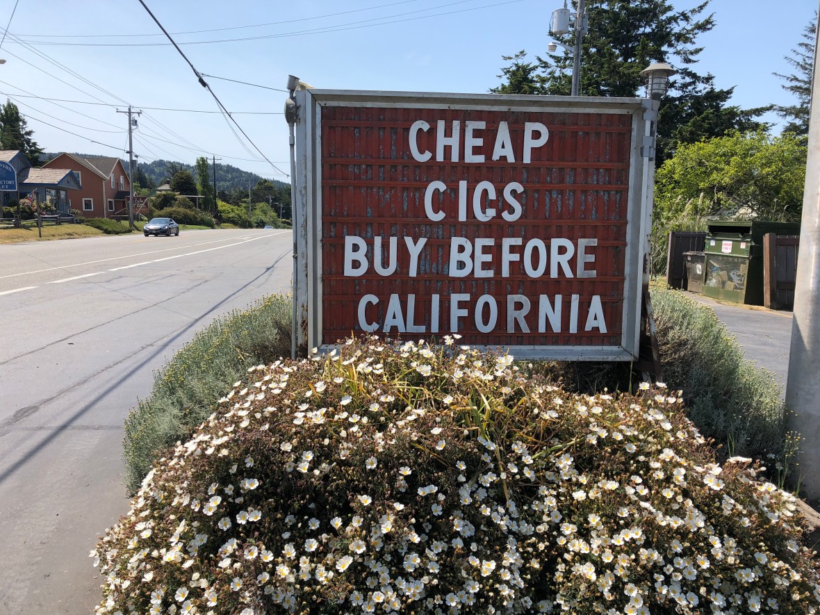
Like any border between states with different laws about drugs, alcohol, guns, or fireworks, the Oregon side featured the biggest marijuana dispensary we’d seen.

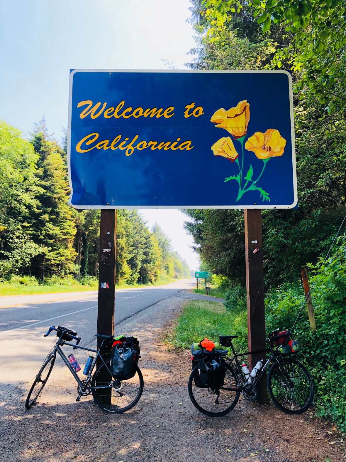
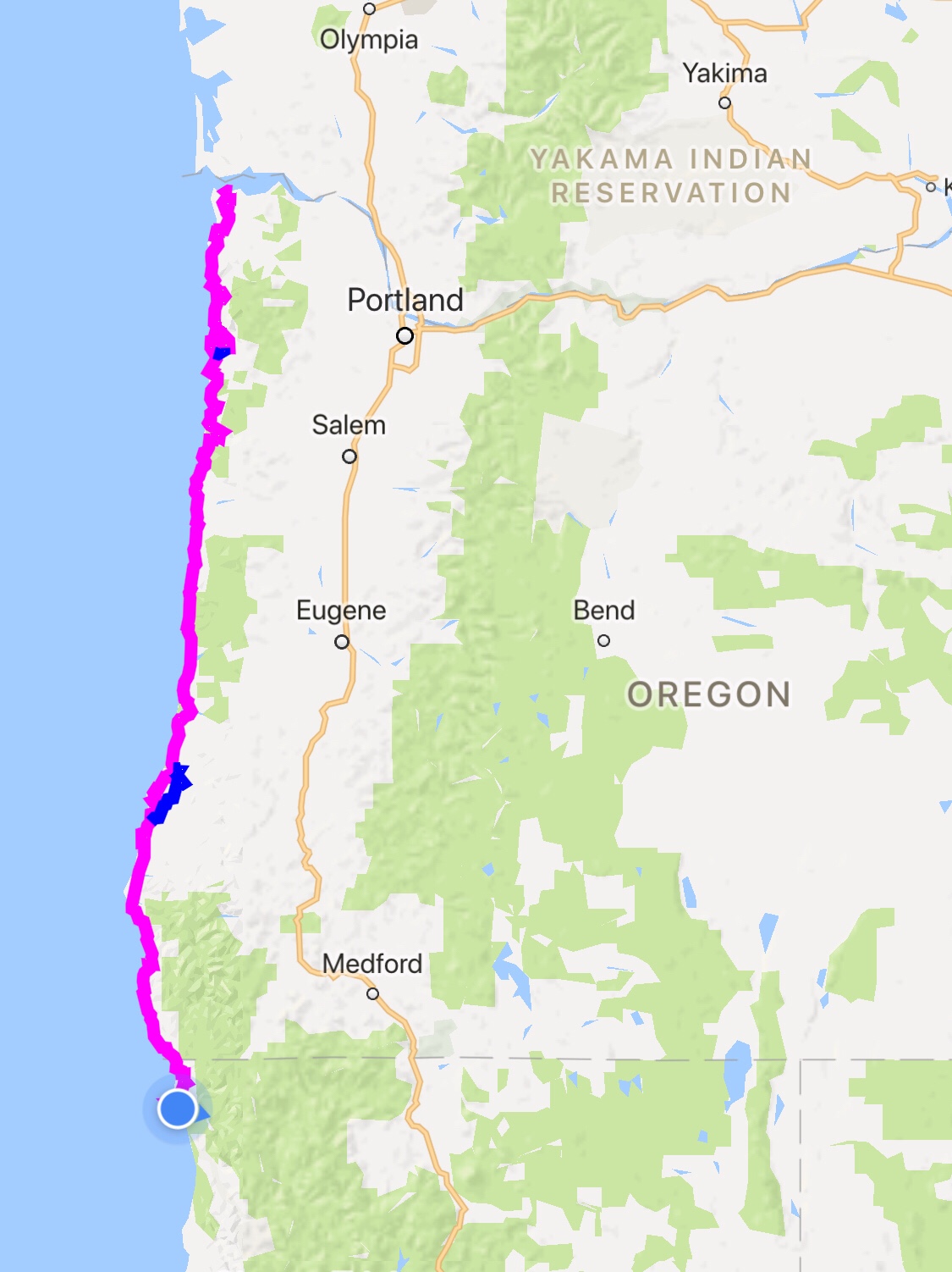
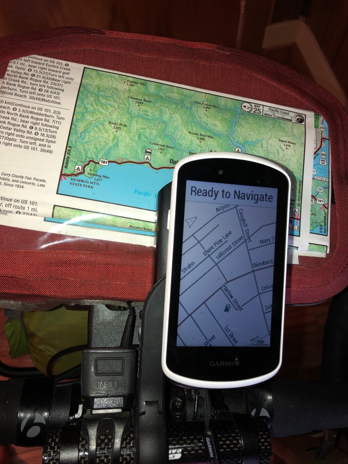
But like most fronteras, this border is more than a legal fiction, more than a mathematical line drawn on a map. From craggy coastline and jutting cape, the landscape quickly transitioned to sprawling agricultural, from Easter lily farms to stoop-labor field crops complete with farm workers as if we’d teleported to the Salinas Valley. The slopes above were still thick with spruce and fir, and the coastal surf still pounded the sea stacks, but we pedaled through the Smith River estuary on mostly level rural roads apart from the trucks and other traffic on Hwy. 101, smelling fertilizer, gazing across vast flats, and passing farm machinery chugging along our quiet alternate route, of which Ethel Beavers — as we’ve christened our Garmin 1030 navigational device — thoroughly approved.

Ethel, and her owners, were very happy to arrive at last in Crescent City and ride along the coast to our lodging.

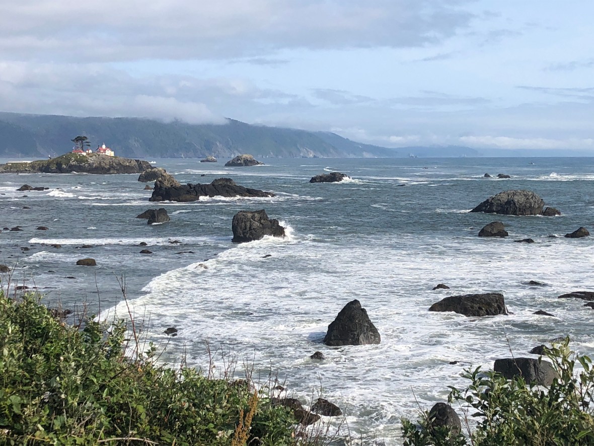
The Front Street Inn here, along with the Wild Chinook in Gold Beach, has changed our opinion of two-star economical motels. Perfectly clean, if aging and low on foo-foo amenities, friendly & accommodating and grateful for your business, and costing maybe a third of a Hampton or a Hilton. Our room was a 10-minute walk from SeaQuake Brewing, all we need at present.


Today’s numbers: 61.2 miles, 2617 feet, in 5:10. Hope we’re not softening up. Tomorrow’s going to be a big day to Arcata.

Our June so far:

First Flat, Optimal Situation

Awoke in Bandon on yet another sunny Northwestern morning, here with a hint of sea fog and the tang of salt air. As we were packing up the bikes in the room after breakfast, David noticed that his rear wheel was flat, an industrial-sized staple driven right through the tire. Could have been a worse place to repair it, that’s for sure.

Very soon we were rolling south along the coast again, looking forward to a heartier breakfast than the Sunset Motel had to offer. Past the golf courses and tony shore homes of Bandon-on-the-Sea, we followed our route away from the coast and up into the hills. At one point, low on energy, we paused near the top of a hill to figure out when we might pass a place to buy snacks and Gatorade. Almost on cue, a gray-bearded and pony-tailed man emerged from a roadside shack that seemed mostly woodpile and tarp, to point south like an Old Testament prophet and say “Langlois is a mile that way” (he pronounced it “Lang-Loy,” making David’s inner Francophile cringe; Ashley, from solid Virginia stock, didn’t see the problem: the man was obviously right.).

Sure enough, a mile later we arrived in what the city limits sign proclaimed “World-Famous Langlois Founded 1881,” and a pretty well-stocked and hopping general store.

It’s true that, when you’re needy and moving at 10mph, even the skankiest establishment, be it grocery store, cafe or motel, can seem like a paradise of convenience and comfort. But the Langlois General Store was really great! And you can buy tax-free smokes!

We provisioned up and moved on to our next stopping place, the oldest town on the Oregon coast: Port Orford, founded 1851 when a heavily armed force of whites arrived to displace the local tribe and lay claim, treatyless, to their land. Old story, we know. But the locals didn’t make it easy on these illegal immigrants, fighting and ultimately losing the Indian War of 1850. Here is where the first battle took place, now a viewpoint where a backpacker had laid out his bag on the grass:

Here we lunched at TJ’s Diner on chicken strips and an omelette while a trio of dude-bro cycle tourists passed us outside. Not the only ones we saw today, but the only ones riding south. Northbound, along with two who didn’t look that much different from us, gearwise, climbing around the east side of Humbug Mountain we intersected with a cheerful biker in a sun hat, hauling a trailer in which relaxed his yellow lab.

Because it looked unnecessarily out-of-the-way and steep, we ignored the Adventure Cycling route that would have taken us up into the hills, and instead turned the other direction to ride the lovely Old Coast Road the last few remaining miles to the Rogue River and the town of Gold Beach. Our constant companion on this tour, the Garmin 1030 navigation device, suddenly began sending grumpy demands that we make a U-turn, and finally in a fit of AI petulance refused to talk to us at all except to say in white letters on a black screen “you have left your route — recalculating.”

Meet our constant companion, in a cheerier digital mood:

That last road was amazing, one lane wide, rolling, coastal; every now and then it drew close to 101 and the familiar din of traffic returned, but we were passed by only one car. This idyllic thoroughfare ended at the Rogue River, part of which we rafted a few summers back with friends. A short steep climb brought us to the north end of the bridge crossing the river, and then it was only another mile or so to our hotel. In Oregon we’ve had a soundtrack of waves breaking and seals barking, at least when there’s a lull in the traffic. Today, less traffic.

Had dinner at a local bistro that had somehow managed to run out of fish, then a nightcap at an adorably local but unpopulated dive bar next to our nightly digs.


Today was a relatively short but sluggish day. Final stats: 56.3 miles, 2559′ of climbing in 4:37. We stopped at several scenic overlooks and generally enjoyed coasting, saving up for the California climbs we know are coming. Over seven hundred miles covered; the last state is a long state.

The Bridge Not Taken

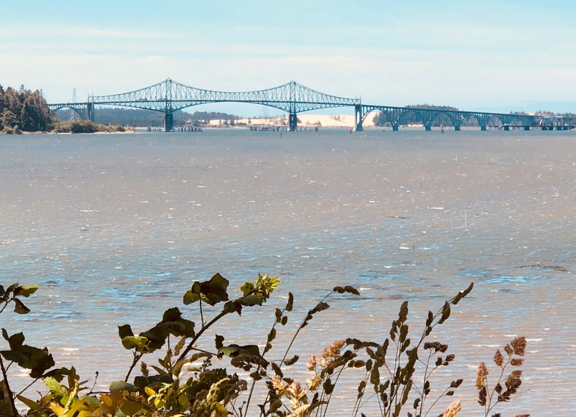
That’s the Coos Bay Bridge, gateway to Oregon’s biggest coastal city. It’s also infamous among cyclists because it’s over a mile long, steep, and has no shoulder, barely even a pedestrian walkway. Its 1930s designer was evidently unable to imagine anything but petroleum-based locomotion. There’s an online debate among bicycle tourists about the virtues of taking a detour to avoid its considerable pucker factor. We opted for this alternate route, a beautiful circuit of the bay mostly on small forested roads that, at one point, offered a view of the bridge with the south end of the Oregon Dunes as backdrop.

No more farms — only beaches, recreation areas, a few small towns, and forest, some large swaths of it logged into rubble. On a Monday morning, this stretch of US 101 seemed way busier than further north, with every kind of tractor-trailer, tanker truck, gravel hauler, and delivery vehicle mixed in with the Greyhound bus-sized RVs towing SUVs and the usual noisy pickups and unmufflered motorcycles. The shoulder sometimes narrowed and left us more exposed than we like, but almost all motorists were careful and considerate. Those that weren’t, well, our hearts are strong and can probably take it.

We had an early lunch at Subway, not our first Subway of the trip. This was by far the happiest Subway we’ve ever frequented: the exuberant woman behind the counter offered expert advice about toppings and sauces, and she was as right as she was energetic. If you’re ever driving through Reedsport, friends, don’t pass the Subway by. If Cindy is working, order as she says.

Coming around Coos Bay on our bridge bypass, we ran into a vicious headwind for a while that forced us into our lowest gears to climb some piddly little hill. Felt like a mile but it was probably a quarter that; we gave it our all but were maxing out at 5 demoralizing miles per hour. We pulled off the road to recover, and just then an oversized load — a doublewide on a trailer? — came crashing by taking up the entire lane plus the shoulder and ripped branches off trees as it passed. Lucky timing.

Then the hills. Many of them. The grades on 101 were not insane, however, and we put our nine days’ worth of experience riding loaded touring bikes to good use, settling into whatever inner space or reverie we could find and grinding up the long climbs with as much philosophical resolve and resignation as we could muster, resisting the continual urge to stop, and feeling the burn in other body parts than just our legs.

Not a lot of civilization after Coos Bay, so we peed in roadside bushes, drained our water bottles, and waited on the turnoff–off 101 for good for the day–for the coastal town of Bandon. The last segment was a pleasure, winding its way eventually through this precious little beach town, with a varyingly brisk headwind. We had finally reached the vast Pacific again, and our cheap hotel room comes with a stunning view of rocks jutting up from the sea.

We watched the sun set from the only restaurant nearby, overpriced but with ample tasty provisions. For all their compulsory pretension, the waiters scarcely batted an eye at our decidedly downscale attire–nowhere near as fresh as the daily catch.

Spot prawns, a local delicacy, almost indistinguishable from lobster.

And so to bed–tomorrow, with luck, our last full day in Oregon.


Today’s data: 80.2 miles, 3669′, 6:24.

Going Full Coastal Oregon

Woke up in the Beverley Beach SP hiker-biker campsite, packed and rolled under more typical PNW skies, gray with maybe a hint of sun.

It was a surprisingly hilly six miles into Newport with a diversion from truck-heavy US 101 onto quieter, albeit hilly residential streets, until we passed local-looking Nye Beach Café and stopped for an overdue breakfast. We had been Starbucks-bound, but local non-franchise is always better.

The suburbs through which we rode featured expensive-looking homes curiously built within “Tsunami Hazard Zone” warming signs, blue painted lines on the roads indicating the anticipated level of apocalyptic inundation.

Our waitress, a little slow and forgetful, wore a “this bud’s for you” T-shirt, leading us to speculate about which jobs in the upcoming decade would be best suited for legal stoners. Not table service — maybe complaint departments, or insurance adjusters. The sheer proliferation of marijuana dispensaries along our route has amazed us, with their clever names like Pipe Dreams, Hashtag, and Token Herb. Intentionally or not, an elementary school on US 30 east of Astoria announced on its roadside marquee that students would be “Learning and Growing,” not 100 yards before a giant “CANNABIS” sign.

We finally got fed and got billed, and then rolled slowly through town, stop sign by stop sign, taking the opportunity to run some errands–e.g., after three days, we finally passed by a Walgreens for more dental floss and a photo op at the start of the longest road in the US.

South of trafficky Newport, we crossed the Yaquina Bay bridge and then moved westward again, to hug the coast all day. One more bridge got us into the tiny town of Waldport, where we had a coffee/hot cocoa break at one of the ubiquitous PNW roadside drive-through coffee stands.

Past Tillicum Beach to Yaquats, where we stopped for a sidewalk snack of nuts and energy chews, without dismounting, while chatting with a local about tail lights and bike tours. That was halfway for the day.

From there we climbed, steadily, through the Siuslaw National Forest, by Cape Perpetua. Every one of the many scenic overlooks was tempting, but we only stopped at a few. Here’s the 125-year-old Heceta Head Lighthouse:

Along the flats, at sea level (“Entering Tsunami Hazard Zone”), when the traffic quieted down for a few minutes, we could hear breakers pounding the shoreline. A rolling upward road gave us a more or less constant view of the perpetual Pacific, and eventually we flew down a steep descent with the 40-mile-long Oregon Dunes in sight….

The road flattened out again north of Florence, our target, and along with some spitty raindrops we caught an exhilarating tailwind into town and our $70 no-tell motel. Unpacked, showered, and walked into the old town for a drink (the Beachcomber Pub) and dinner (the Zebra Bar), the first non-fried seafood we’ve had this trip.

Our stats today: 58 miles, 2929′ elevation, in 4:23.


(Just for comparison, the current leader of the Trans-Am race has traveled 532 miles in under 38 hours. In 10 days we’ve traveled 580. It’s the blogging that has slowed us down.)

Autocycloid Convergence

We left the somewhat depressing Tillamook (“more cows than people,” said the pubtender at Pelican Brewing) about 8:45, though it took at least 10 minutes to turn left across 101 out of the Western Royal hotel. Fueled by a bowl of Cheerios and a hard-boiled egg (each), we covered the 25-ish flat miles to Pacific City, where we had a brewpub (sans brew) lunch on the (cold and windy) beach, thinking things could be a lot worse.

During those six or seven daily hours in the saddle, one’s mind wanders far and wide. Sure, there’s the earworm problem, but there’s also time to ponder your past, your future projects, and the odd phenomena taking place in the present moment.

If we could convince the National Science Foundation to fund our field research, we could write this whole trip off our taxes. What we’d study is provisionally termed Bidirectional Autocycloid Convergence Tendency. Expressed in the language of mathematics, it goes something like this:

(1/WsWr)(Rc/V) = P(abc)

… where Ws and Wr are the width of the road and shoulder, respectively, Rc is the curviness coefficient of the road, and V the visibility around the curve, and P(abc) the probability that a and b, two cars coming from opposite directions, will converge exactly where a cyclist, c, is forced to ride in the lane. In English, even if the road has been empty of cars for 5 or 10 minutes, two cars will appear exactly at the same time, forcing either a three-way squeeze, or one car to hang back, or worse yet, one car (usually a pickup) to aggressively pass on a blind curve.

Today’s ride was mostly on US Hwy 101, a busy main artery used by both tourists and commercial traffic. For the most part the shoulders are wide and well-maintained, if badly needing some gravel swept. Four times today our route gave us relief from the constant roar of cars, trucks, and motorcycles, by bypassing 101 on a quieter road which was usually also more scenic and more gently graded.

The most memorable of those four breaks from 101 was Slab Creek Road, which we caught just south of Neskowin and took to the tiny town of Otis. The road was splendid, a little pothole-y, sure, but shady and hilly and mercifully free of traffic. The best kind of climbing, winding narrow lanes with no cars, and excellent descents. The most spectacular stretch, though, in keeping with the Autocycloid Convergence Tendency, was at the narrowest of bridges–where we met not one or two or three but at least half a dozen cars, trucks, semis. All, naturally, at exactly the same moment, as the one-lane-only bridge curved upward and we were in everyone’s way.

The other thing that makes that road memorable: we’d heard, early in the day, leaving Pacific City, that today was the start of the fifth iteration of the Trans-Am ride, and on Slab Creek we started getting passed by the riders. These riders leave Astoria (at 6am today, it turns out) and race 4200 miles to Yorktown, VA, and many of them average 200+ miles a day. (As we write, the current leader has traveled 245 miles in just under 14 hours.) If you’ve enjoyed following our modest little tour, you should watch Inspired To Ride, which vividly documents the first Trans-Am race. It’s well done, and it also left us reading and obsessing about other epic bike rides (across Siberia! across the Nullarbor plain of Australia! across Africa!). Stay tuned….

Ashley being passed by a Trans-Am rider on Slab Creek Road.

They ride hard, self-supported, but carrying little; they sleep an hour a night if that. It was hugely humbling to be passed by one after another intensely focused racer, and comforting to know that unlike them we’d be getting a decent sleep in our tiny tent somewhere not too far down the coast.

After stopping at a few scenic overlooks, we rolled into Beverly Beach State Park at about 4:30. We learned that today is Oregon State Parks day, which meant a free camp site. We bought the makings of a camp dinner (soup, canned corn, bread, cheese, and a Hershey bar), along with beer, water, and firewood, and set up camp. Quiet, on the patch of grass designated for bikers and hikers, and peaceful. Finally got a fire going, devoured our rations, played Phase-10, and called it a night. Tomorrow looks like a shorter day.


Day 9 totals: 71.8 miles, 3101′ climbed, 5:43 in the saddle.