The Penultimate Pedal

Day 34, second-to-last (according to plan): Yet another lightly overcast coastal morning, quickly turning to full Southern California sunshine. We walked a few blocks from our hotel for breakfast at an 80s-themed diner, BC-DC (Breakfast Club Diner California) with pictures on the menu of various hair bands, of “the miracle on ice” pulled off by the 1980 US men’s hockey team, and of Michael Jackson, and really good, fluffy blueberry buttermilk pancakes.

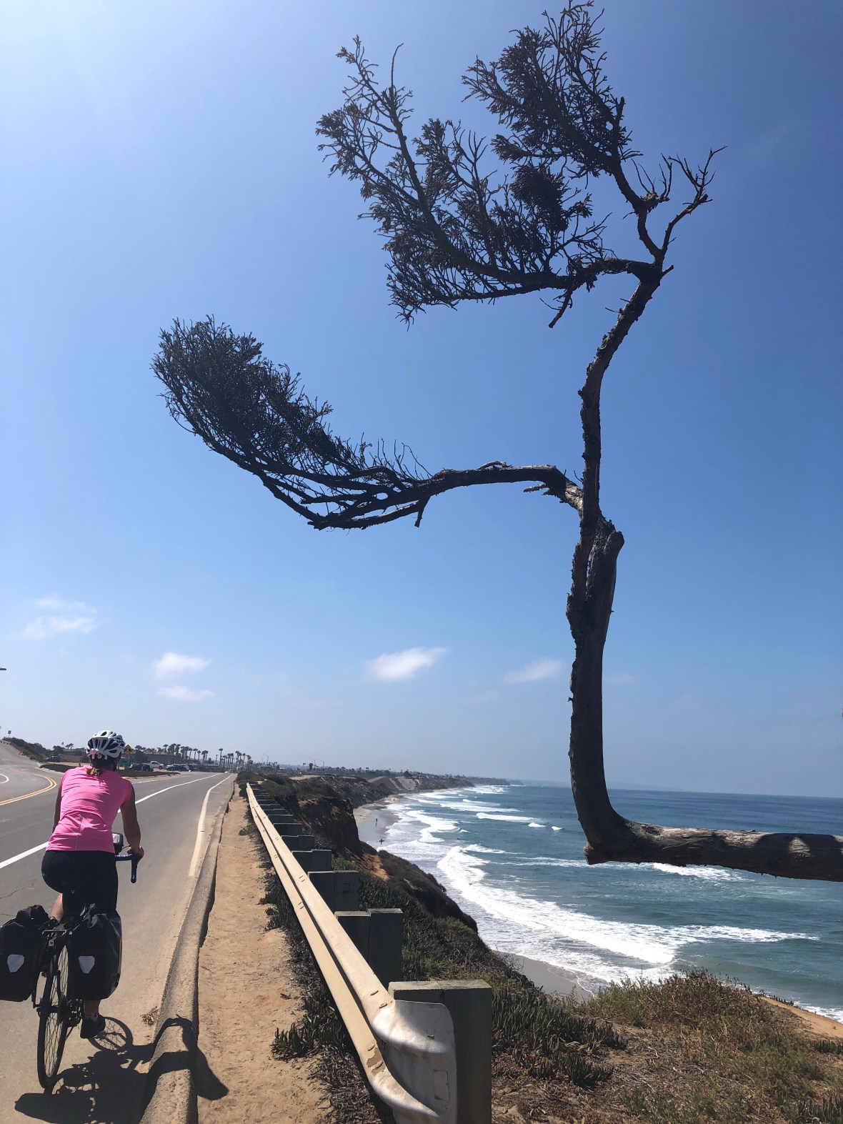
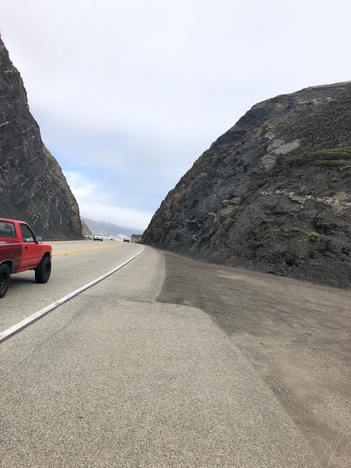
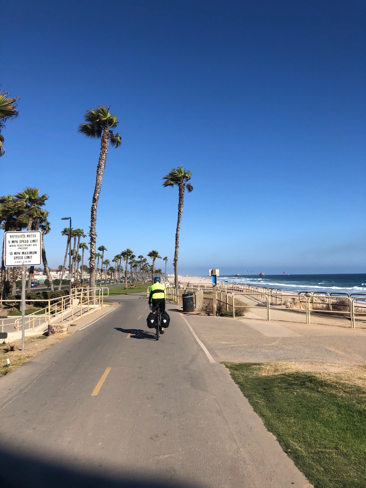
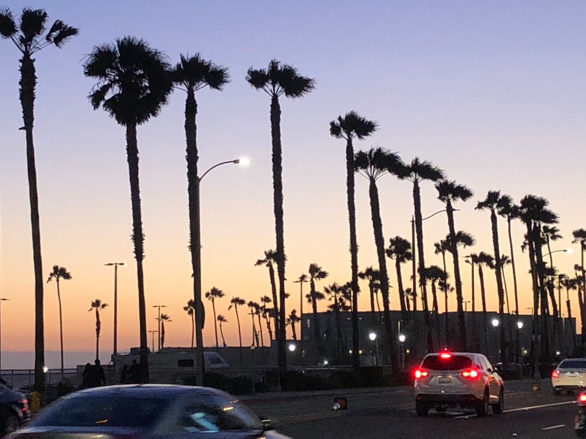
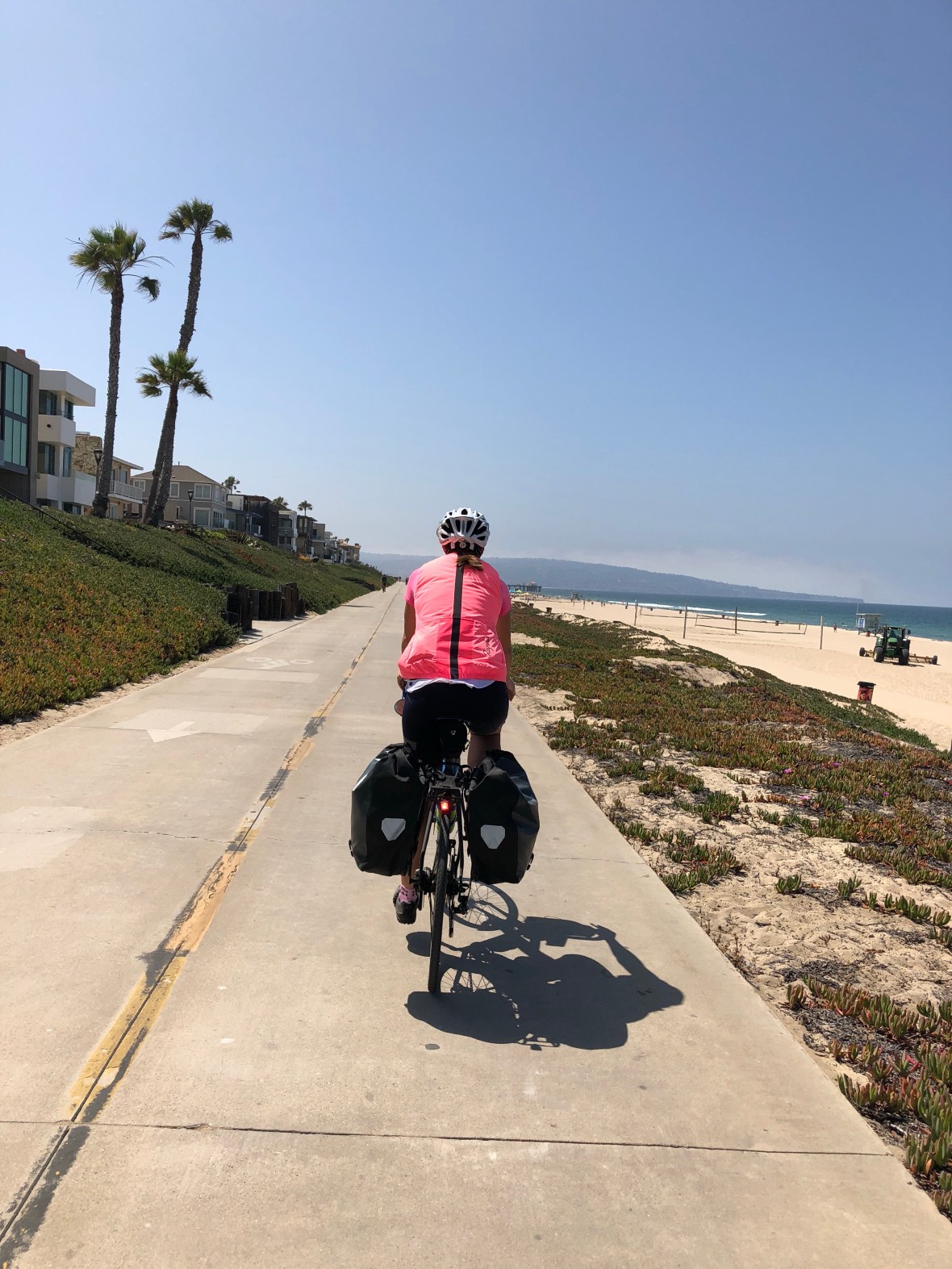
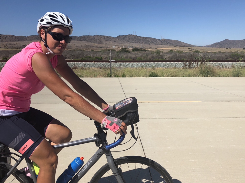
Soon we were a-rollin’ south again, through coastal communities like Carlsbad and Encinitas (the latter especially re-visitable), up and down little hills, over causeways, past harbors and surfing beaches, mostly on wide shoulders and the occasional stretch of bike path. Packs of recreational riders swarmed past us, and posted bike route signs proliferated. It was warm, maybe one of the warmest days of the whole tour, but whenever our generally south-by-southeast heading veered one way or the other, we welcomed the steady cool Pacific breeze.

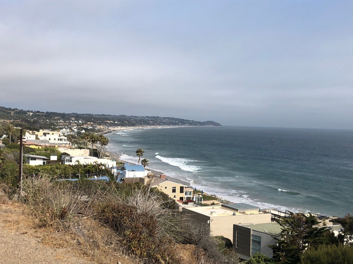
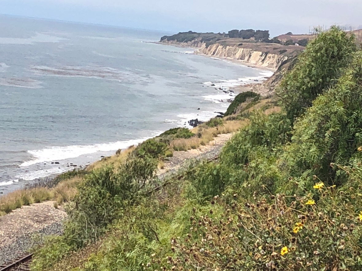
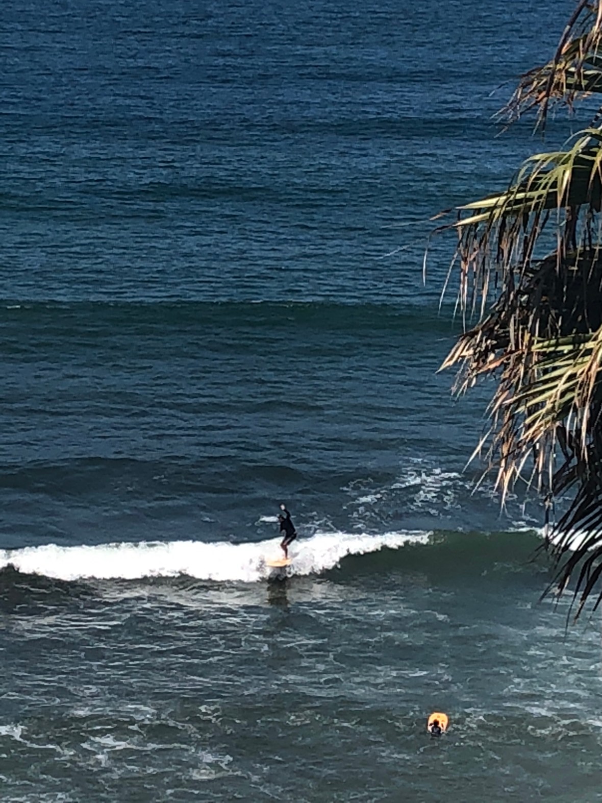
In Encinitas we paused at a bluff-top picnic table to snack and slather on more sunscreen (it’s David who slathers, Ashley content with a few strategic dabs). Down below, as we’ve seen almost continuously for days, frolicked packs of surfers in wetsuits, their vans and RVs parked along the highway, lines of them coming and going along the beach paths.

“If everybody had an ocean

Across the USA

Then everybody’d be surfin’

Like Cali-for-nye-a”

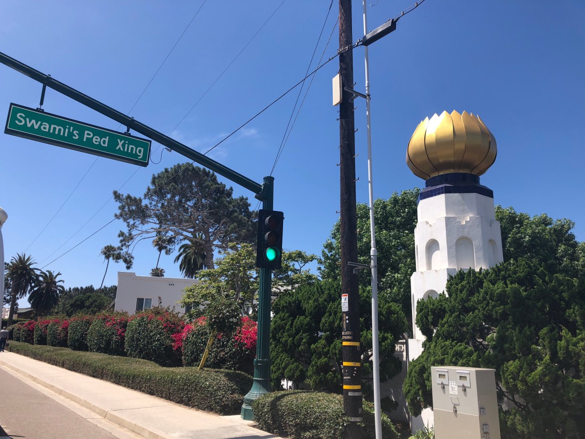
Also in Encinitas we passed the Self-Realization Fellowship Temple, founded by Swami Paramahansa Yogananda, the Bengali guru who relocated to Southern California in the 1930s. Fun facts: Mark Twain’s daughter Clara was one of his disciples, and it was here that he wrote Autobiography of a Yogi (1946).

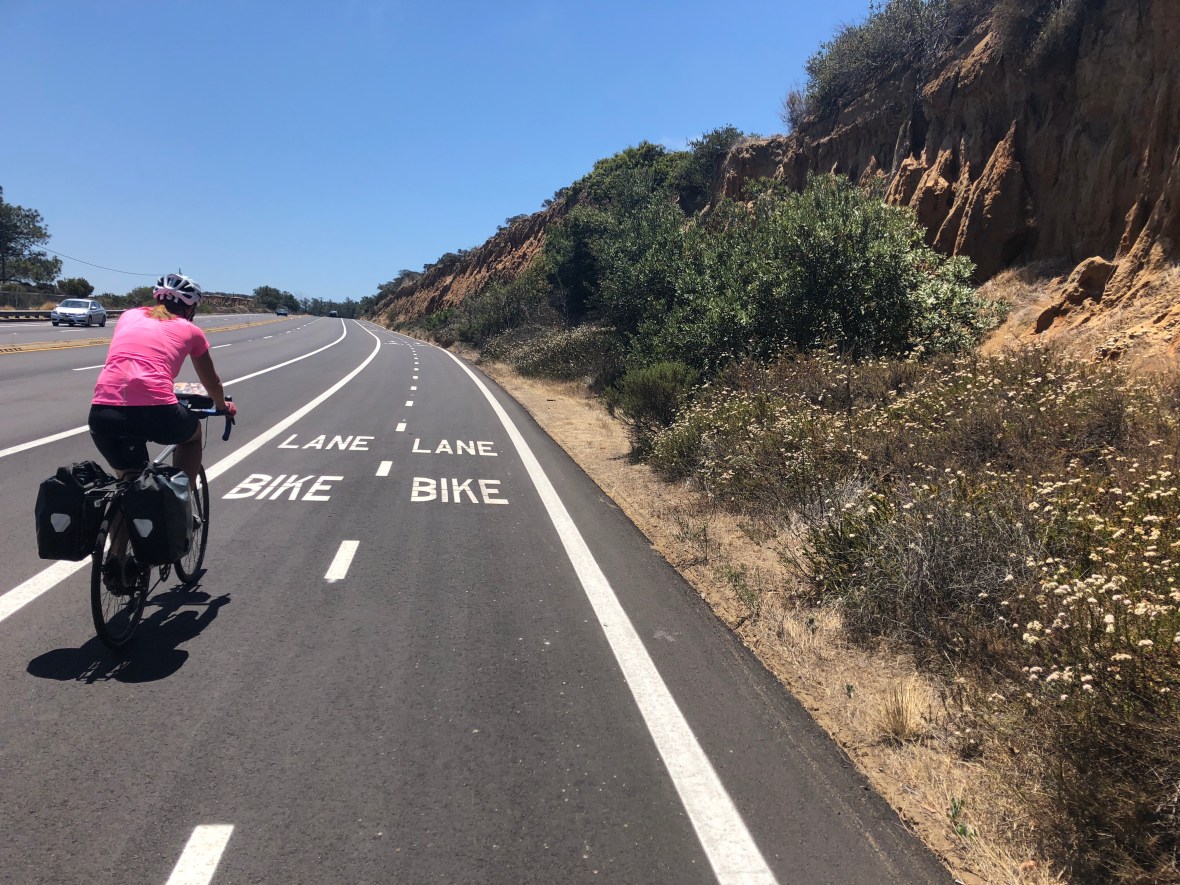
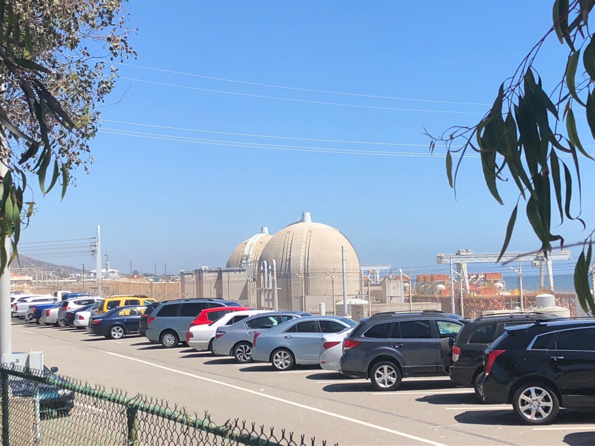
Climbing into Torrey Pines Preserve was the first and only time the shoulder was divided into two bike lanes, the polar opposite of Laguna Beach. It was also the only significant climb today, a few hundred feet. Far cry from the thousand-foot climbs of yore!

Atop the hill sits the UCSD main campus, and a long descent brought us into La Jolla with its elegantly landscaped homes, upscale shops, and, weirdly, some badly cracked and rutted pavement.

Here we paused for a quick lunch at a corner bistro — well, David’s chicken tortilla soup and croissant were instantaneously served, but Ashley had to wait 30 minutes for a milkshake (“the ice cream is hard, they’re working on it”). (That’s right, a milkshake for lunch. Ah, touring life!)

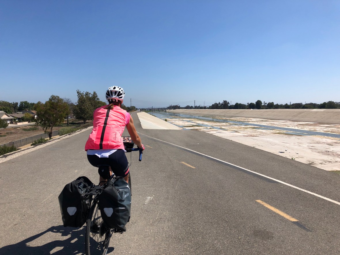
We followed a winding harbor road among lines of cars going 5mph, serenaded by barking seals, and the traffic steadily picked up as we got closer and closer to San Diego.

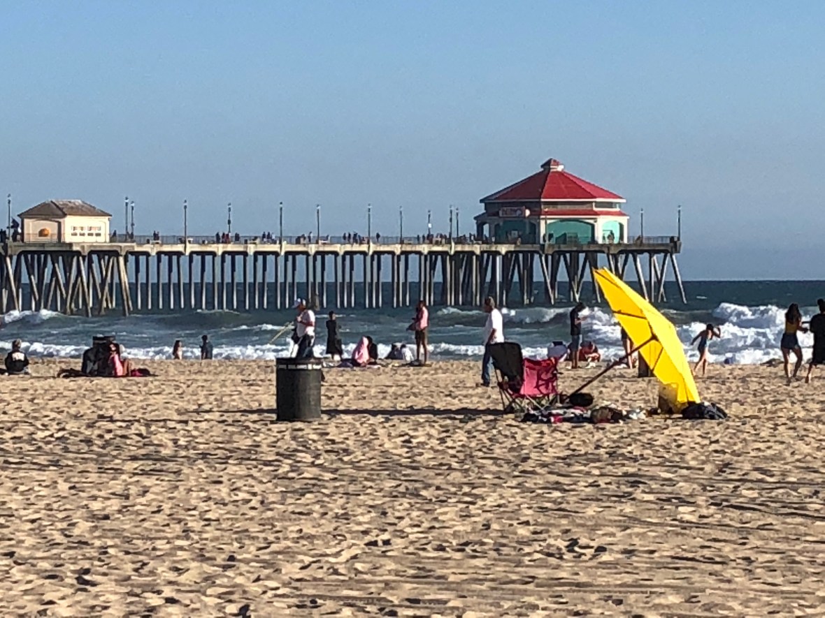
In Mission Beach we turned onto a crowded pedestrian/bike/skateboard/rollerblade oceanside path that had us half-riding, half-walking our bikes past shops, bars, dudes drinking beer on the verandas of rental apartments, and wetsuited surfers vaulting the low sea wall with their boards pivoting unpredictably. It could have been tedious, but the sheer human interest kept us fascinated.

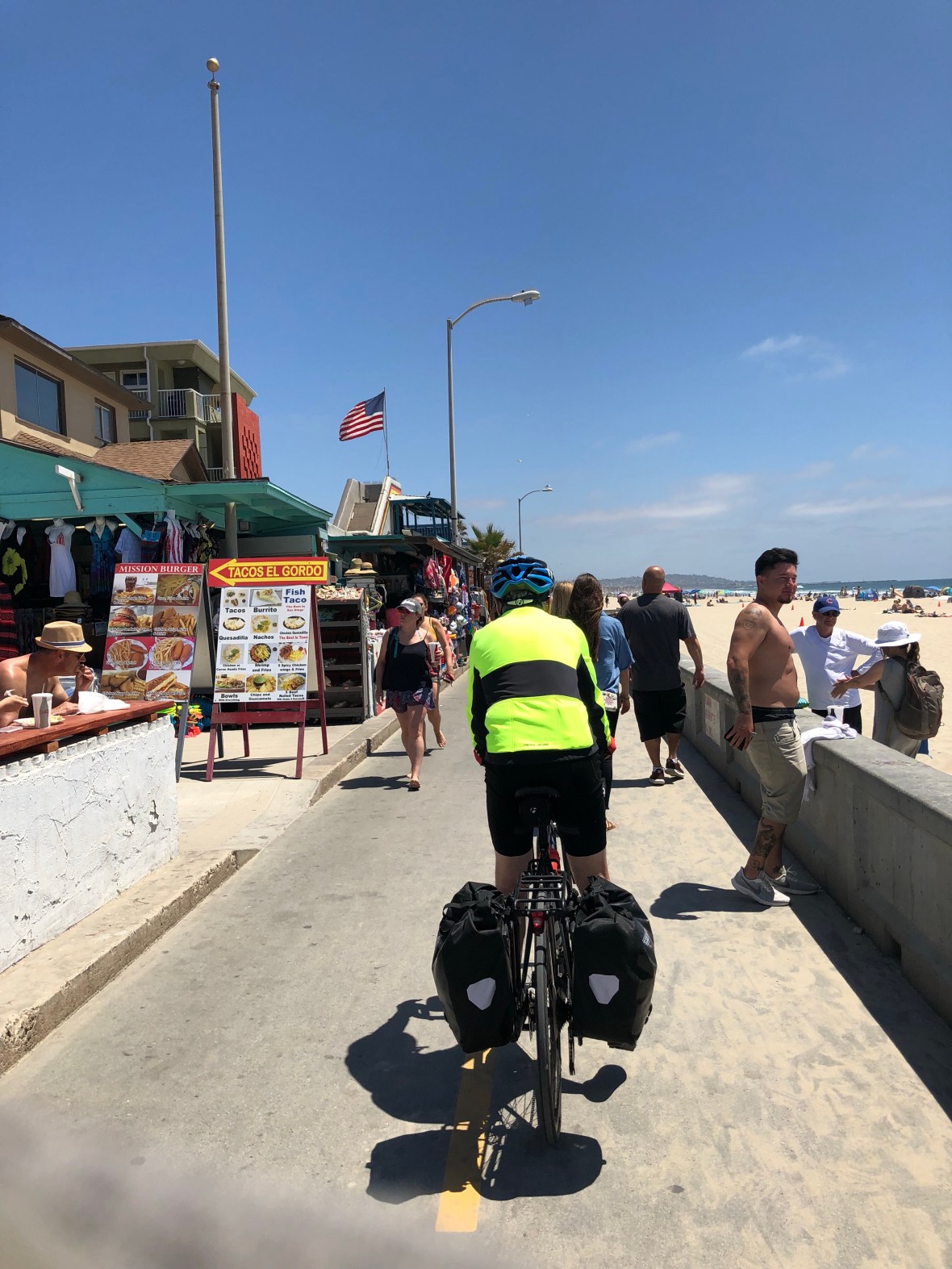
The scene was wild, hugely entertaining even when one is in the middle of passing it by. We’d love to sit for a while and watch: the bearded hippies on old-school skates, gray-haired women learning to ride scooters, the kids hopping the dividing wall between their rentals and the beach, the women on cruisers wearing backpacks full of dog…. we want to come back and spend a few days living on this chaotic spit of oceanfront. But there’s a dark side to this kind of scene: it’s frequented by mid-life-crisis-aged men with too much gel in their thinning hair, driving Chevy convertibles with license plates that read, “SLICK EH.” The question is perhaps rhetorical; the answer is undeniably no.

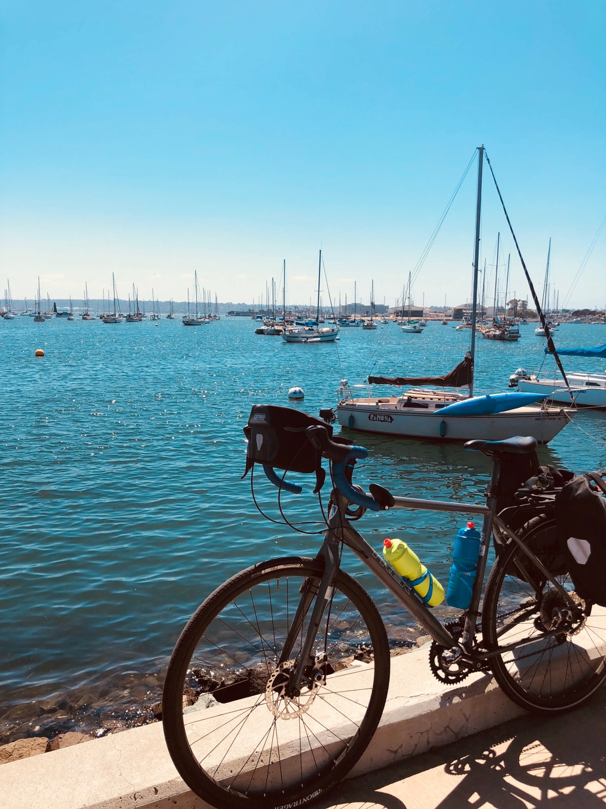
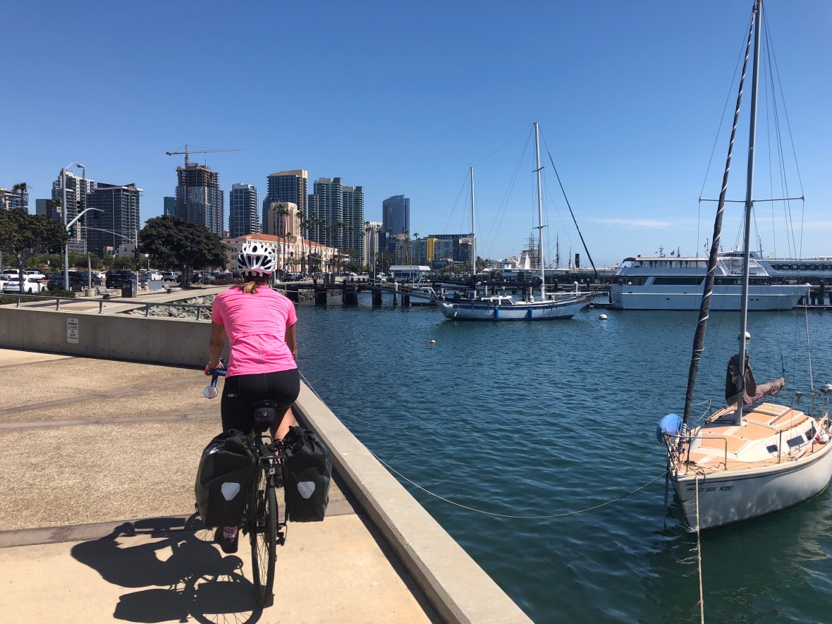
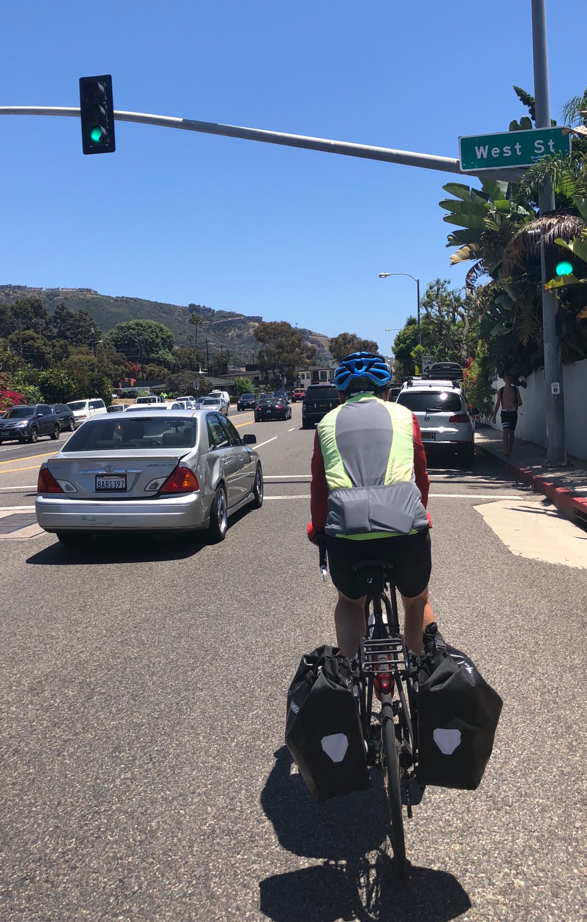
Some busy but well-shouldered urban riding brought us to San Diego harbor, past the airport and along a park-like shoreline to downtown, past the HMS Surprise, a precise replica of an 18th-century 24-gun British warship used to film Patrick O’Brien’s Master and Commander, and a few short blocks up to our hotel.

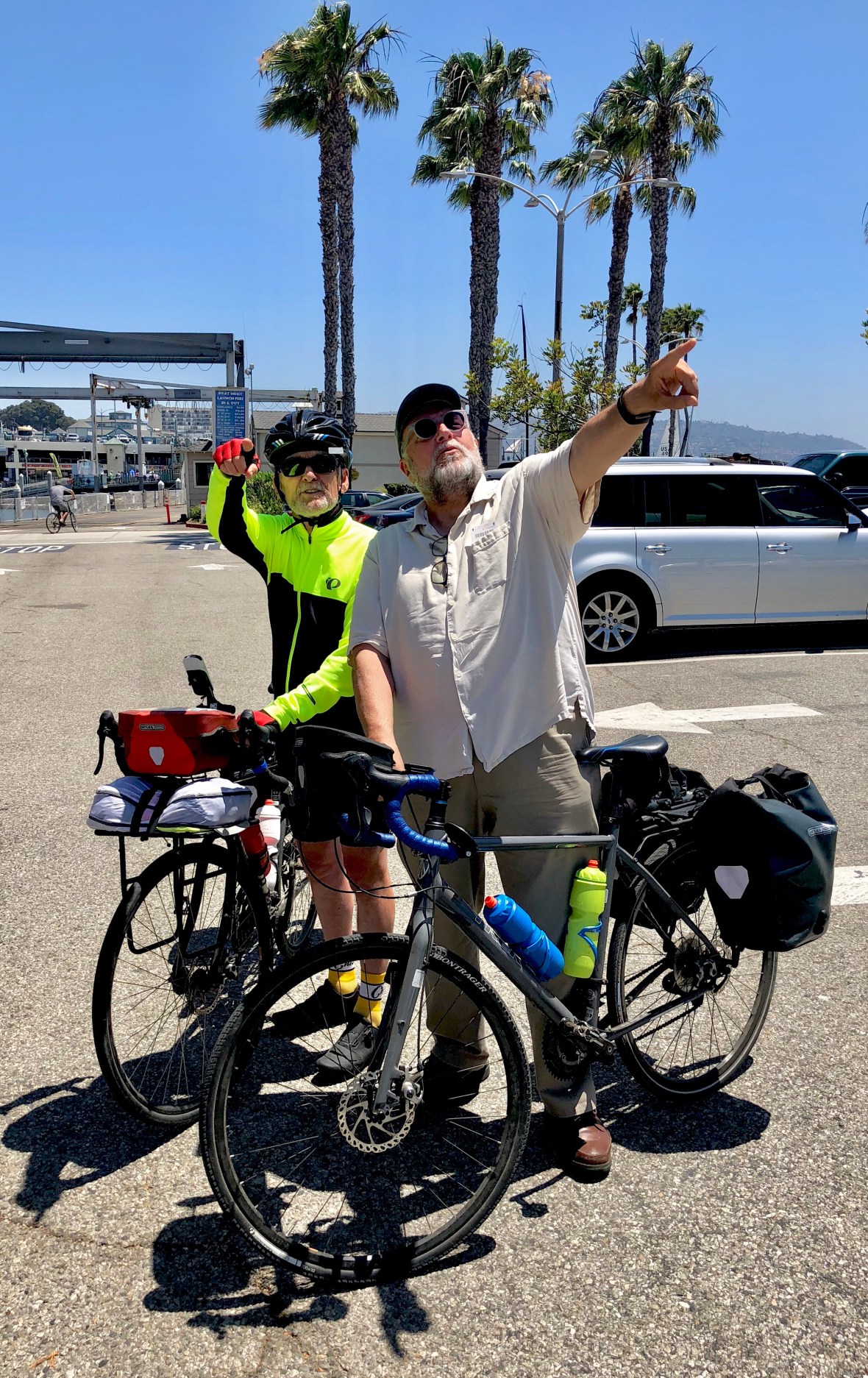
Although we still have 20 more miles to the Mexican border, we decided on a premature celebration, what we decided to call a “blur” of breweries. San Diego is lousy with breweries, not only the titans like Ballast Point, Stone, and Coronado, but more small and new ones than we can count. Ballast Point is a favorite, the mango even keel (David) and all varieties of sculpin (Ashley), so we started there, with a 20-mile Lyft ride with Josh, a Fort Worth emigrant who was probably the flat-out craziest rideshare driver we’ve ever experienced. He was going through some kind of personal crisis, and was too inarticulate to explain it very well.

So I was smoking weed with some people I met at Walmart, and it was, like, the universe, man. It sucks, man. I have this calling, you know, but all my life I’ve been lost. Good and evil, man. I have all these thoughts, and, like, I need a tape recorder so I don’t keep forgetting them.

Josh kept talking as we got out of his car at Ballast Point, even as we thanked him and walked away, happy to have survived what we thought at times was a potentially scary situation.

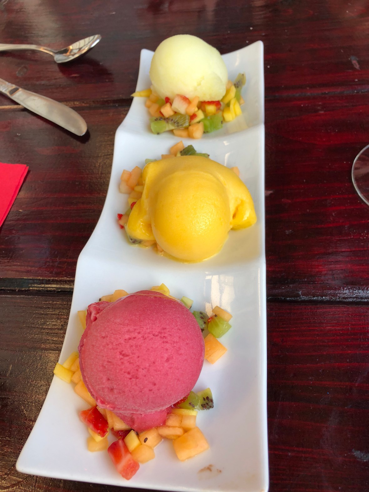
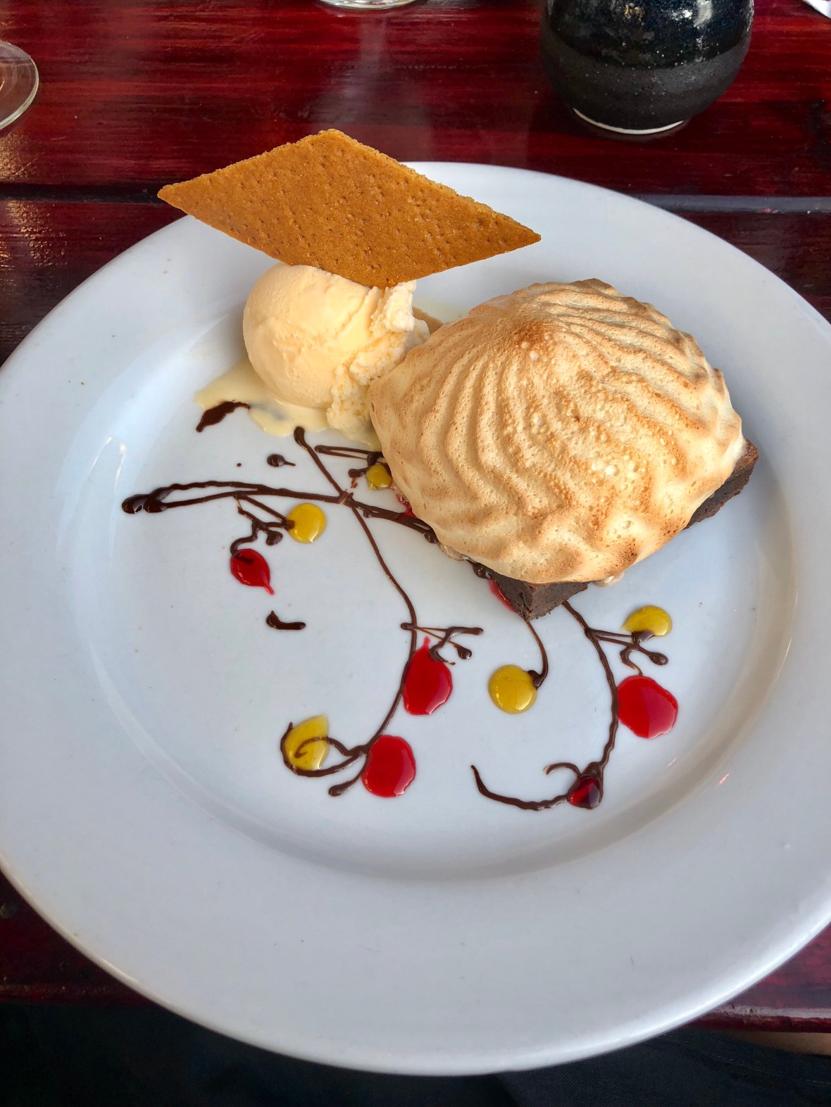
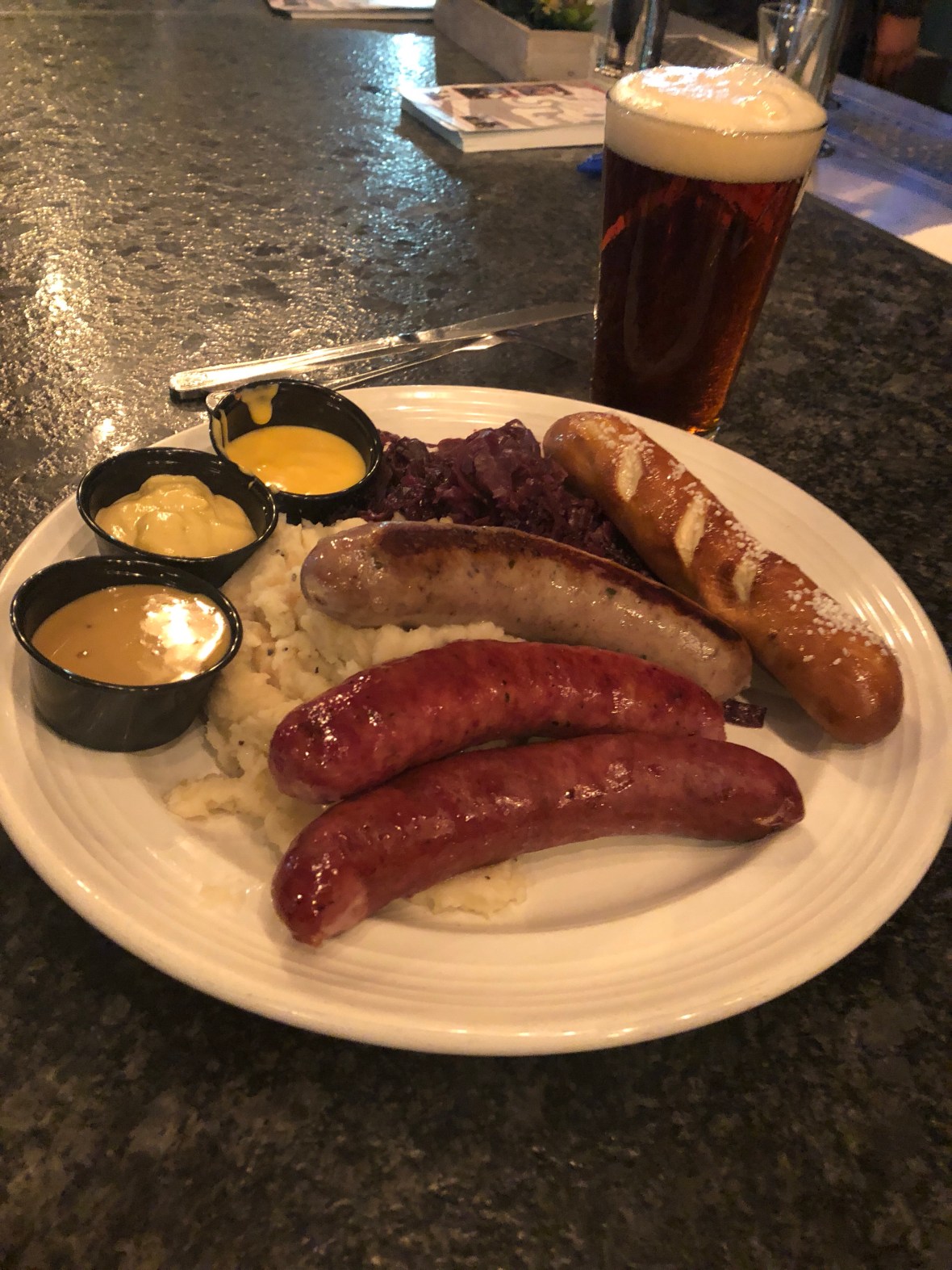
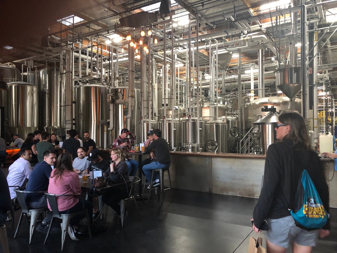
At Ballast Point we had dinner, a little early but we’d had no real lunch, so: calamari, fish tacos, and a lamb burger. All excellent, and we admired the rows upon rows of house brew but sampled only two. From there, a half-mile walk to two smaller spots, side by side: Pure Project (tiny, trendy, packed, with a first-rate saison and a proclivity for triple IPAs, which we always skip); and Amplified, decent but not spectacular, with less range and way fewer patrons. At this point we were shadowing the San Diego beer tour bus, which charges a piratical $75 a pop for a measly three brewhouses. Lyft was cheaper.

The fourth stop, also within walking distance, was the charming Duck Foot.

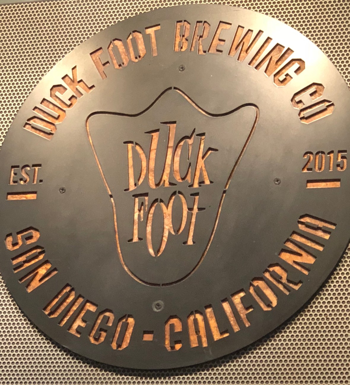
The best we sampled here (and it was only tasters at each spot) was the coconut IPA, summery and nearly perfect, if less complex than the offerings at either Ballast Point or Pure Project. Duck Foot was having its trivia night, and the emcee was a little grating, so we moved on. Decided to try Saint Archer, a brewery big enough to distribute to Reno.

The Saint Archer tasting room.

It was a longer walk, but it helped work off the lamb burger. Another warehouse-style space, another trivia night, but good IPAs and a comfortable atmosphere. Any other night we would have lingered, but we greedily wanted to collect one or two more, and since we were limiting ourselves to tastes at each one, that seemed doable. We Lyfted the mile or so to Rough Draft: the writing-teachers in us were taken with the name, but it was a depressing spot and we didn’t linger. Unexceptional in every way. Another short Lyft ride brought us to 32 North, a vast industrial space which was by 9 pm basically empty: us, a distracted barkeep, and one other quiet dude. Another good saison, less memorable than that at Pure Project. With a group, on a bustling weekend, this would be a destination; tonight it felt sleepy, like us.

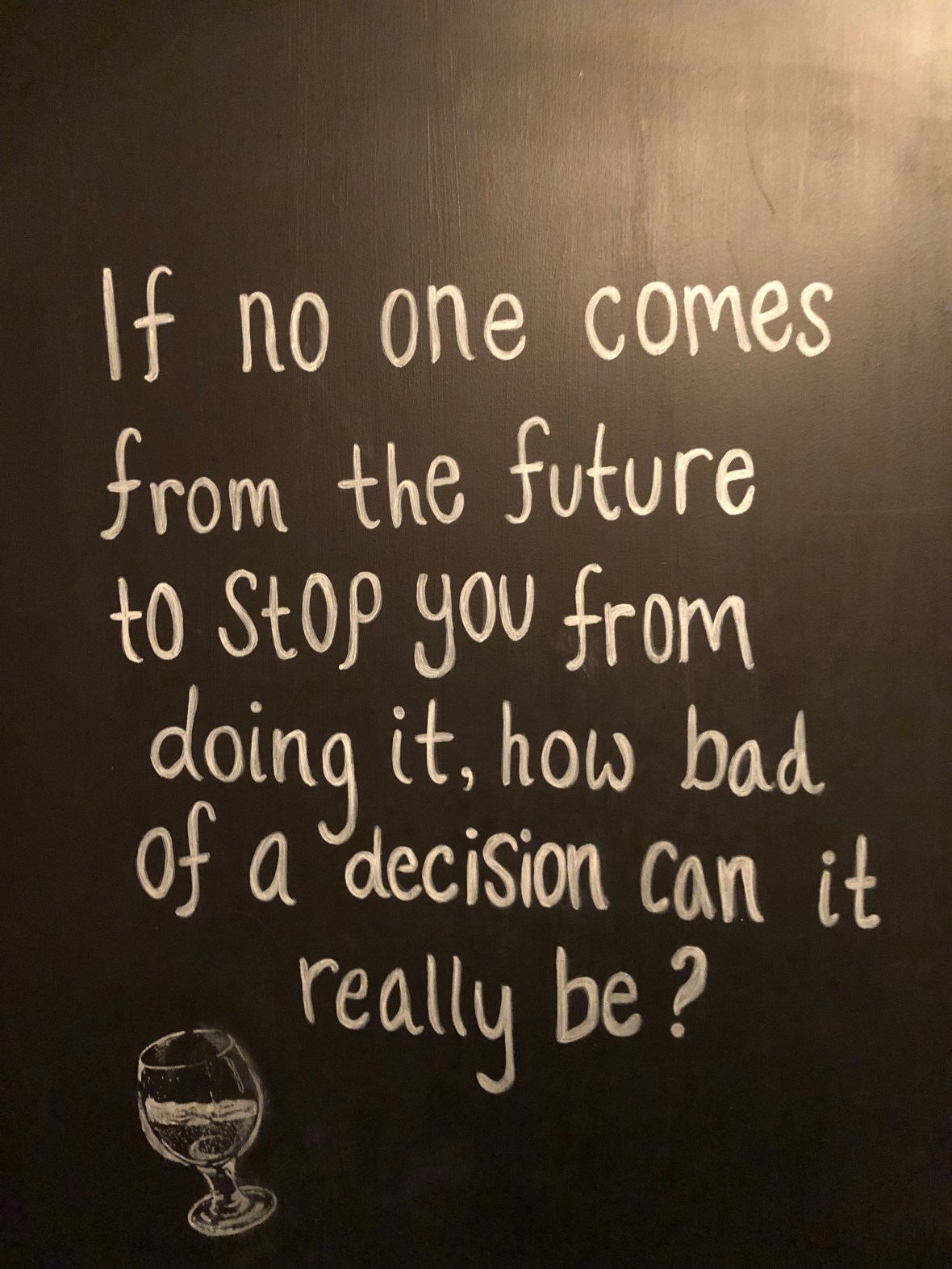
And so to bed, confident that we’d made all the right decisions.


Today’s ride: 43 miles, 1616 feet, 3:45.

Beach Towns and More Beach Towns

Long Beach. Huntington Beach. Venice Beach. Hermosa Beach. Manhattan Beach. Redondo Beach. Newport Beach. Laguna Beach. Capistrano Beach. Seal Beach.

In Santa Monica we started to notice abandoned electric scooters lying about, discarded, seemingly flung aside at random on sidewalks, in parks, and along the beach. Imagine our surprise when we found that these were “scooter share” devices, that could be rented by the hour or day, and collected by the next user where they were left, or presumably gathered at night by municipal workers, or robots.

They must not be difficult to operate, because all kinds of people were buzzing along the sidewalks and bike paths, describing modest little S-turns which may have been a less-graceful-than-it-looked attempt to keep upright. But this scooter-craze disappeared almost as quickly as it sprung up: after leaving Santa Monica, we’ve seen only one, and that not a rental, since it was painted in day-glo colors and twined with some kind of elaborate floral decoration, like an “art scooter.”

So it goes with the Southern California beach towns. They’re sure not all the same. Some less pretentious, some full of luxury automobiles, some with houses crowded together close to the beach, some surrounded by gated and guarded communities (a few of these exclusive enclaves self-identifying as “colonies”), some lined with rows of parked RVs, some with broad beaches traversed by paved pathways and volleyball nets, a few with piers, several with beach-shack bars and burger joints close at hand, and a few (including the adorable Hermosa Beach) posted “No Smoking.”

We were enjoying our ride south on the bike paths that stayed down flat along the sand, but every so often our route took us up into the towns along Hwy 1 or an arterial paralleling it. It was from those stretches that the true character of the beach town became evident.

We loved Hermosa Beach for its wide sand fronted with homey rentals (we hope, for we wish to return soon for a longer visit). Huntington Beach sported a walkable and interesting Main Street, but is–we were happy to discover–a little tamer and less crowded than Santa Monica.

Huntington Beach Pier

Santa Monica is so urban, so bustling and crowded and almost obnoxiously, desperately hip, that we left it worried about what was to come.

Sixteen miles in on Monday, we rendezvous’d with David’s old radio pal John Apicella in Redondo Beach for lunch. He was kind enough to drive over from NoHo for a long seafood lunch of reminiscing and European travel talk. Redondo Beach was unassuming, a yacht harbor with shops and seafood but hardly overwhelmingly urban. We ate at a joint called (as though named by Ron Swanson) Quality Seafood; outdoor seating, decent squid, paella, poke. (And “no tacos for you!”)

From here John had to rush back to Hollywood for a rehearsal of Tesla: The Musical, opening July 6th at the Barnsdall Gallery Theatre

From there it was another 34 miles or so to our stop for Monday night, Huntington Beach. We didn’t know what to expect, but what we found was charming, still lively but without the sidewalk crush we’d found in Santa Monica. Another beach town, this one the home of a major surfing museum. Locals call it “surf city,” and that seems fair. Unlike Santa Monica or preppy Santa Barbara, Huntington Beach feels delightfully casual, blue collar, more comfortable in every way. We walked along the ocean road to the local brewery and felt at ease, despite our scrubby bike-tourist attire.

Huntington Beach by evening.

On Tuesday morning, we got a late start, accidentally sleeping in. Had brunch at Sessions West Coast Deli (no association with the racist dirtbag currently running the department of injustice). A breakfast sandwich and avocado toast–but despite the latter it was not an oppressively hipster joint. Got going around 10:30, bound for Oceanside.

Our route map offered a warning about the Orange County beach towns, Newport Beach, Laguna Beach, and Dana Point, to the effect that aggressive drivers had been reported creating risky conditions for bicyclists. Back in Hermosa Beach we’d asked a local biker to whom we’d lent the use of our pump if these warnings were true. Nah, he said. He thought Venice Beach was bad, where he’d been yelled at not just by motorists but by cops as well. We had kept to the beach path through there and hadn’t had a problem.

Newport Beach was surprisingly urban, insofar as it had a towering skyline, a Ferrari dealership, and a lot of sprawl. But the bike lane was generous, drivers were friendly, and we had no trouble.

Laguna Beach–a whole other story. It was prefaced by beautiful rolling hills, the road lined with purple flowering jacaranda trees and blossoming bushes of many kinds, but the town itself proved a nightmare, far more anxiety-inducing than the 16 miles we had ridden inland along busy 4-lane boulevards through the LA industrial centers and downscale commercial districts of Torrance and Carson, which culminated in a lovely Los Angeles River bike path to Long Beach.

The LA River Path to Long Beach and the sea.

No, in supposedly much more upscale and idyllic Laguna Beach, the shoulder was mostly occupied by parked cars, which forces bicyclists into the right lane, and usually locals and tourists alike understand and respond well. Not here, despite the enormous electric sign entering town asking motorists to share the road with bicyclists and give them 3 feet of clearance. We were crowded, brushed into the shoulder, deliberately frightened, yelled at (nothing printable).

Many of the offending vehicles were worth well over $50K. (Why?) Some hills were steep but there was no slowing, definitely no stopping. Our heart rates were up and our tempers flaring for the duration of our stay. Ashley got cut off by a tourist trolley; a little red hatchback with a megaphone on its exhaust startled us both by brushing past very fast and too closely. And when we reached south Laguna, and the parked cars disappeared, the shoulder was occupied by overgrown flowers and bushes.

We passed into rather cute Dana Point, and immediately felt safer. The drivers heeded the ubiquitous roadside signage (same “share the road” sign we’ve seen since Washington). The difference was stark.

Ahhhh, Dana Point!

Ashley feels safe enough to mail some postcards.

From there we took to the hilly residential side streets through San Clemente, Tricky Dick Nixon’s hometown. (We missed his Presidential Library.)

After that, somewhat to our sprawl-addled surprise, the path turned into a remote-feeling scrubby-desert frontage road paralleling I-5, passing SONGS (San Onofre Nuclear Generating Station) and the strangest state park ever, basically a mile-long rest area parking lot with water, restrooms, paths through the bushes to the beach, and even a few tents pitched on the asphalt. We’d assumed there’d be something for lunch, but somehow our route kept us away from everything commercial, so once again we were rationing our water.

SONGS

Having pre-registered with the USMC online a few days ago, our Nevada driver’s licenses sufficed to pass us through the main gate at Camp Pendleton, which saved us 10 miles or so of shoulder riding on I-5. The base itself is sprawling, like a whole city unto itself with housing developments, a shopping mall, office parks, an elementary school, and installations marked only with incomprehensible acronyms and numbers. Single-file riding was mandated, and no stopping. 
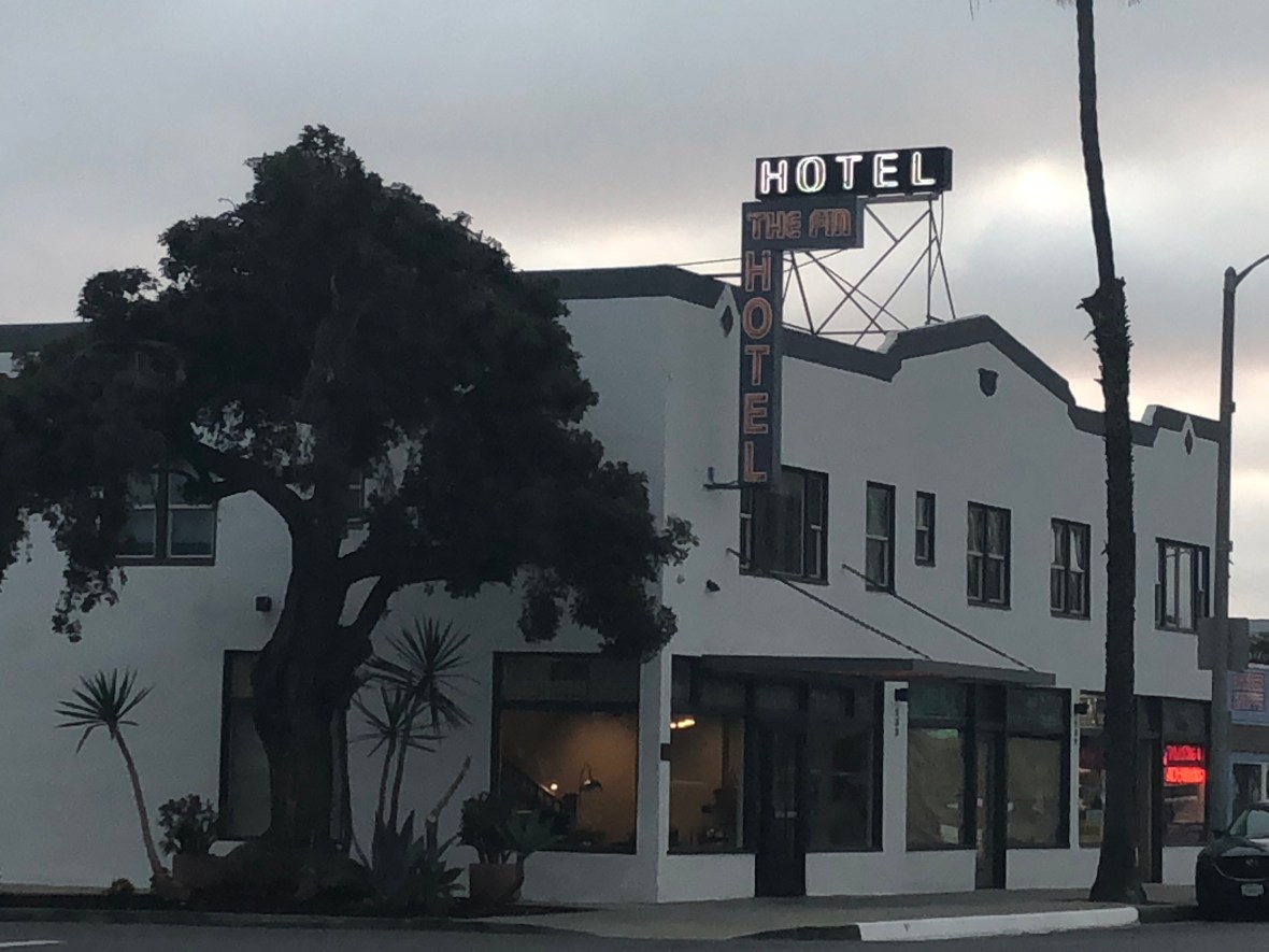
Passing out of the base we were quickly dropped into Oceanside, and after a few miles along its bustling beach scene we powered up a short but steep hill into town and our boutique hotel, one of the finest on a trip that, sadly, has only two riding days remaining. We had dinner at the Local Tap House (highly recommended) and then a nightcap at the Breakpoint Brewery (definitely not recommended: okay wine but the beer tasted like dishwater). And so to bed, less than 65 miles from the border.

The Fin Boutique Hotel: Recently remodeled, open only a month, and wayyyy nicer than the 1927 building looks from the outside.


Monday stats: 50.2 miles, 696 (!) feet of climbing, 4 hours and two minutes.

Tuesday: 56.7 miles; 2286′; 4:40.

Malibu Wagyu

After yet another minimalist continental breakfast, yet another bowl of Raisin Bran, we left our otherwise comfortable and well-located Santa Barbara hotel around 10. It was a bit of a late start, but with every day we’re a little less quick about hitting the road. Almost immediately we joined a bike path, with the crowded beach, the harbor, and the vast, gray Pacific to our immediate right.

The path was, as usual, often a passage perilous: rough pavement; inattentive dog walkers whose adorable but curious mutts wander, always, into the passing lane; oblivious couples, helmet-less, on wobbly cruiser bikes, occupying every inch of asphalt; and a few crosswalks. Beyond the urban sprawl of Santa Barbara, in the tony suburb of Carpinteria, along a shop-lined strip, a nonagenarian in an expensive hatchback pulled out in front of us without a look, coming alarmingly close to wiping David out. Ashley, naturally and not for the first time this trip, stood in her pedals and sprinted after the car; when the lady stopped ahead, miraculously aware of the red octagon (“stop!”), Ashley knocked on her window, yelling, heart rate up: “you almost killed someone.” The woman seemed surprised, seemingly spooked by the close call. And so we proceeded.

We were on one bike path after another, but in between such paths we enjoyed mostly generous shoulders on side roads, even on Highway 101. 101 was bustling, to say the least, but we were only on it for half a mile, one exit—just long enough to see our first sign for San Diego, 198 miles away. Our route avoids the freeway as much as possible, so it’ll be a little longer than that, but that sign represented for each of us a not-entirely-pleasing affirmation that the end of our long-anticipated tour is coming much closer.

Still, we cheered a little. After all, the worst is behind us. From here, traffic will pick up, maybe, and sprawl will be epidemic, but the climbs have diminished; the fifth and last of our Adventure Cycling maps doesn’t even bother to include an elevation profile. We’ll make it. There have been occasional moments of desperation and doubt over the past month, but we will reach the Mexican border. That this is both a triumphal revelation and a letdown—back to reality!—is perhaps not surprising.

At some point the suburbs thinned out and gave way to long narrow beaches, and with the beaches came a new sight: rows of RVs– one massive recreational camper after another, dozens and dozens, lined up along the coast. Some were modest, but mostly they were towering, with something like porch-covers pulled out to shelter elaborate picnic-setups. And they went on for what seemed like miles, punctuated by lifeguard stands. Sometimes beachgoers’ cars lined the shoulder for long stretches, forcing us out into the traffic lanes and making us thankful for our brilliant taillights and bright attire.

At mile 29, we went off-course, annoying our mostly-faithful Garmin navigational device (whom we’ve named Ethel) as we went in search of the Ventura In-and-Out. (Ashley had looked for this franchise in every town so far, and had finally found one, determined to lunch there whatever aggrieved Ethel thought.)

An hour later we were rolling again, fueled by the animal-style fries and lettuce-wrapped non-greasy burgers. We turned inland, passing through the unfortunately named Oxnard and, spoiled by the unrelenting sprawl of civilization, assumed we could stop any old where for more water. That turned out not to be the case, as we learned when we crossed a naval air station on the other side of Oxnard, and the landscape suddenly turned rural, agricultural, and non-commercial. A kindly local biker saw us pausing to study the map and turned back to offer advice on the options ahead. We decided we could go on, rather than turn back into the wind and sacrifice hard-earned miles for a resupply.

Rationing our water, we rejoined Highway 1 and rode another 20 miles past Point Mugu, past William S. Hart [silent-film cowboy actor] State Beach and Dan Blocker [of Bonanza fame] State Beach, past many more rows of parked cars and RVs, past surfers wriggling into wetsuits and people actually swimming in the sea, first time we’ve seen that on the entire trip. The Pacific must have warmed up, this far south.

The “entering Malibu” sign came surprisingly early, a full 10 miles before the dot indicating it on the map. We stopped briefly to “shake our tail feathers,” as we say, and refill our bottles with the usual half-water half-Gatorade mix at the first opportunity, a Chevron station, just as the traffic and the sprawl began to pick up again. We were obviously not so far from LA. The terrain rolled a little bit, and we climbed some moderate hills, but just as the biggest one loomed ahead, Ethel directed us to an almost invisible side road off Hwy 1 that flattened out along rows of closely packed beach houses, Mercedeses and Lexuses and Porsches and Range Rovers parked in their stubby driveways. We flew another 10 miles from there to the southern edge of Malibu, where our very good friends Eric and Vicky, with their son Arden, had booked a rental right on the water, with an extra room—“should you get there that weekend,” they had said, back in early May. And we did. When we pulled up to this remarkably-situated house, waves breaking under its oceanside deck, they were waving hellos from the driveway.

Beers and wine bottles were opened, showers ran, laundry was started. Eric started to cook, which for him is as natural as breathing: bacon-wrapped lobster appetizers, wagyu rib cover steaks, and butterflied lobster tails: he tucked the claw and knuckle meat into the shells and smothered them with a white wine thermidor sauce. More beers, an excellent rioja, card games — the rest weekend had begun.

Saturday morning started verrrry slowly. After muffins and caffeine, the group ventured to the Getty Villa (Ashley followed behind a bit to finish dealing with laundry).

The museum was built by the eponymous oil baron J. Paul to recreate how an wealthy ancient Roman’s villa might actually have looked and felt.

Getty likes to imagine himself in a toga, strolling the gardens deep in philosophical discussions with Plato and company.

He filled it with the art he collected (“plundered”?) from Italy in the late 1930s when under the fascist Mussolini government anything and everything was for sale (some of the antiquities have since been repatriated).

Some of Getty’s loot (top to bottom): the Lansdowne Hercules (Roman, 125 CE), head of a woman from a funerary monument (Greek, 320 BCE), harp player (Cycladic, 2700 BCE)

Lunch at the ostensibly Mediterranean-style cafe was decidedly underwhelming, but enough to sustain us until a dinner that would prove to be anything but.

We had a couple of hours downtime at the house before dinner, which we spent making plans for the remainder of the trip and hanging damp clothes out on the oceanside balcony to dry. At 4, we left for dinner in the Hollywood Hills. Yamashiro, a classic LA establishment, us perched upon a hill (under and within view of the famous “HOLLYWOOD” sign). The views go on forever, the LA skyline visible on one side and Santa Monica on the other.

The Japanese structure (whose name translates to “mountain palace”) dates back to 1914. Initially a private residence, it served in the twenties as a secret social clubhouse. During WWII it was converted to a military school. Because of the anti-Japanese sentiment in wartime America, the building was vandalized, so during its military school phase it was partially boarded up and painted black–a means of preservation. (A model Japanese village and some of the outdoor ponds were destroyed by those hostile to Japanese culture.) Since 1963, it has operated as a Cal-Asian restaurant (complete with a 600-year old pagoda).

The place is genuinely majestic, and would be a destination-spot even if the dishes were only okay. They were instead spectacular. We started with an appetizer sampler (spring rolls, hummus, etc.), which was fine, and with the unusual and extraordinary melts-in-the-mouth truffle hamachi.

Even Arden, no fan of raw fish, agreed that it was superb. David had blackened cod with wasabi mashed potatoes and mustard greens, but the star of the entrees was the American wagyu Ashley, Eric, and Arden all got. It’s their signature dish, wagyu steak lightly seared, and served with a flaming hot lava rock, on which we could cook our meat just a little more a few pieces at a time, seasoned to our liking (we were given Himalayan sea salt, a fairly subtle mustard, and a creamy garlic sauce from which to choose).

Desserts: a trio of sorbets and fruit; strawberry filled donuts; and a s’mores brownie, complete with a giant, perfectly toasted, creamy-on-the-inside marshmallow.

We feasted in the Japanese garden behind the main dining area, overlooking the koi ponds, and it was pretty much a perfect (albeit hot and sunny) meal.

Sunday, we breakfasted at 8: Eric made wagyu hash, very tasty, and so fueled the two of us pedaled the entire 8 miles to our Santa Monica hotel, right near the pier.

Eric, Vicky, and Arden picked us up at 10, and we drove an hour to Anaheim to see the Angels host the Blue Jays.

They lost, alas, but Ashley was thrilled to see two former Braves playing for the home team (Justin Upton and Andrelton Simmons), and to snag an autograph from probably the most decent human being in the MLB, Curtis Granderson, now playing right field for the Blue Jays. We left in the bottom of the seventh, giving up our first-row seats on the first base line (thanks, Eric!) so that the Rasmussen-Hines family could catch their flights out of LAX. We rode with them as far as the rental car return, where we said tearful goodbyes and hailed a Lyft back to Santa Monica.

Back to our neighborhood-for-the-night, we went out on the town. Checked out a bar recommended by our Lyft driver, but it was super-packed with trendamorphic and already intoxicated beautiful young people (Ashley wanted to flee immediately: “it’s like a hundred Abercrombie and Fitch stores threw up on a frat party”–and so we did). Found a quieter, more local taproom and kitchen with excellent IPAs and good food. Started writing this blog. Were buttonholed by O’Dean, who claimed he was the original singer for Motley Crüe and invited us to hear him sing karaoke down the street. We didn’t go.

O’Dean: “You’ll love my f*****g voice!” A quick wiki check revealed that he had once auditioned for the band, that’s all. And he was pretty good at getting his new mark here at the bar to buy him double IPAs.


Day 31 stats: 8.3 miles, 186 feet, in 40 minutes. Rest weekend stats: too many ounces of superlative meat to count.

Today Nothing Happened.

Not much to report, except that we made it 57 miles over the mountain to Santa Barbara, and had a flat, and saw two other pairs of bicycle tourists, and bought a new tube of toothpaste along with the usual six quarts of Gatorade.

It was good riding, except for 22 miles on Highway 101; it was easy, despite the long but well-graded rolling climb that topped out at over 1000 feet. It was sunny, once we left LOM-poke. There was nothing in the way of services for forty miles, nothing but a water fountain at a rest stop. There was no lunch: Five Guys seemed a distant dream, as we satiated our perpetual hunger with protein bars and energy chews and gluten-free bison jerky. We appreciated how lucky we’ve been to have so much civilization, so many options for real food, so many opportunities to refill our bottles.

The view from the rest stop where 1 joins 101, sandstone mountains meet the chalk and shale of the seaside bluffs, and chaparral gives way to coastal eucalyptus trees and ice plants.

The big question today was, are we in Southern California yet? Probably. Palm trees, giant pastel stoneware pots of flowers, Mission architecture, adobe walls festooned with fragrant vines, freeways, convertible sports cars, wet-suited surfers, tourists in aloha shirts, smooth jazz playing in hotel lobbies, bars packed with raucous hipsters, ostentatious fashionistas — and in the bigger picture, towering chaparral-covered mountains looming on one side, a vast and calm Pacific on the other, the horizon dotted with offshore drilling platforms. None of these features cannot be found elsewhere in the state, but their confluence adds up to more than the sum of its parts.

We are asking a timely question. This November, residents of the Golden State will vote on whether to split California into three states:

Billionaire Silicon Valley venture capitalist Tim Draper got 600,000 signatures to qualify “CAL 3” for the November ballot.

According to this plan, we would still be in “California,” which would roughly be equivalent to Central California, extending from Monterey as far south as to include most of greater Los Angeles. But culturally, geologically, botanically, historically, and most important imaginatively, we believe we have crossed the line into SoCal. And in doing so, we have been riding easterly long enough to actually be slightly east of Reno, Nevada. Fun fact, verifiable on the map above.

Like our first flat (see Day 12 of this blog) the second occurred in a place, if not as sweet as an Oregon Coast hotel room, at least more convenient than it might have been, on the wide paved margin of a US 101 exit ramp along the scenic coastline and next to the track on which travels Amtrak’s Coast Starlight, which passed just as David, clipping in after a short pit stop, noticed his rear tire had deflated (again). It was a rather small piece of glass this time, one of the billions we’ve ridden over since Canada.

Making up for lost time: the quintessential 7-11 snack stop, in Goleta.

Our designated exit from 101 took us on a suburban Santa Barbara arterial for miles, via a nicely paved bike lane that skirted the University of California campus and, as early as 3:30, dropped us down through town to the harborside, where we’d reserved a room in a beautiful but relatively inexpensive motel with pool, a grassy courtyard covered in flowering trees and hedges, and a complimentary wine-and-cheese reception (which we eschewed in favor of the customary brewery tour).

End of today’s trail, a block from our lodgings, just on the left.

Only a few short hours later, Third Window Brewing, our 18th brewery on the tour, and the second place (we’re looking at you, Chico) we’ve enjoyed beet-pickled deviled eggs.

Brewery #19.

#20.

And #21.

Walking back to the room: the original Sambo’s, founded 1957. (It is not a pub. We did not eat here.)


Today by the numbers: 56.8 miles, 2345′, 4:31.

The Longest Day

Technically, the longest day of the year is tomorrow, the solstice, the official beginning of summer. But today was our longest day, and we needed every bit of the daylight we had to get to Lompoc before the sun set.

We were up by 7, and made enough noise packing to rouse our friend and roommate, Tom. We three found what we could for breakfast in the hotel lobby—cold cereal, basically. It was a little after 8 when we said goodbye to Tom in the parking lot. It’s never easy to leave a friend you don’t see often enough, but it was harder still given that it was a chilly, foggy, gray day in San Simeon, and we had a hundred miles to pedal.

First stop was within a few miles, near Cambria, for more water and Gatorade. By then the fog had somehow completely burned off; the sun was out; we were sweaty; and it was clear it would be yet another spectacular weather day. We made one quick and utterly essential pit stop in Cayucos: there’s no way a couple of anxious, hungry bike tourists can just ride by the Brown Butter Cookie Company.

We bought four substantial and fresh-out-of-the-oven cookies, one for later, one for immediate and rapid consumption on the sunny curb outside the busy little store in this adorable and unpretentious coastal town. All told, we covered the 42 miles to San Luis Obispo with gratifying and heartening swiftness, thanks to an all-too-rare-these-days tailwind. By noon we were pulling into a Five Guys—David’s first experience of that chain, which in Ashley’s opinion is inferior in every way to In-and-Out but still pretty tasty as fast food goes. A couple of burgers and a side (a mountain) of fries, also consumed rapidly, this time on a table in the shade from which we could keep an eye on our bikes. We ate fast, but we lingered, resting up a bit before another long haul.

We pause to admire the amazing chemical engine that is the human body, turning burgers, fries, milkshakes, and cokes into miles and miles and muscle tissue.

After lunch we navigated our way through downtown San Luis Obispo, where we spent Thanksgiving a few years back. On a different day, we would’ve found some local cafe and dawdled, but we knew we had to keep a’moving.

From SLO it was a baker’s dozen miles to Pismo Beach, another little California beach town to which we’d like to return some fine day. We stopped for another water/Gatorade refill, but otherwise continued on, fighting a headwind once we’d made the turn inland away from the coast, watching the clock, wondering if we could still get all the way to Lompoc before running out of daylight.

Vegetables, to the horizon

Miles and miles of plastic sheeting

After well-manicured but still refreshingly blue-collar Pismo Beach, we passed pretty briskly through the more humble towns of Grover Beach, Oceano, and eventually after some twists and turns and annoying little climbs arrived in Guadalupe. Guadalupe was endless fruit and vegetable farms, the shoulder increasingly dotted with strawberries—mostly squashed—and their fruity aroma prominent. The road was busy with produce trucks, farm machinery, and busloads of fieldworkers. We passed newly plowed and planted fields, fields ready for harvest and fields recently harvested. There were piles of irrigation pipe and a flash-freezing plant. We smelled fertilizer.

When we stopped at a Chevron for yet more water and a little rest, we told the friendliest employee there that it seemed like much of the country’s food was grown here. “It’s the soil,” he said. We chatted for a moment, and we suggested that we might be going to Lompoc. “There’s nothing between here and there,” we observed, a hopeful interrogative in our voices. We’d known all day that it would either be 70 miles or a hundred. “No,” he smiled, “except the Hill.” He wasn’t the first of the day to sound that caution, to raise our level of concern about the end-of-ride climb we’d seen in the elevation profile for this phase of our ride.

We lurked in the Chevron parking lot for fully half an hour, trying to decide: either a 10-mile-each-way ride off route, with a tailwind, to Santa Maria; or 28 more miles into the wind with a “Hill” involved. We both wanted to make it to Lompoc; it was just a matter of daylight. But in that crowded parking lot, we committed: Lompoc or bust. We downed a couple of cokes and rolled on. Fortunately, the wind shifted, almost a miracle, and we covered 15 flat miles running 15-25 mph, a tad butt-sore but making good time.

Strategic pit stops can be a major factor in distance riding.

Not until mile 92 did the road take a sudden uptick, the “Hill” of which we’d heard so much. Like “the Leggett” a week ago, the bark was bigger than the bite. The Harris Grade was another fun road, climbing up into the Purissima Hills from vast flat farmland, winding, well-graded, marked by one kiss-your-butt-curve after another.

The bright side of a late-in-the-day steep climb: it’s cool, man!

We climbed steadily for a few miles, summiting cheerfully with the evening sun dipping perilously out of sight. Below us, beginning to be shrouded in the coastal fog we hadn’t seen since our route took us inland, sprawled the Lompoc Valley.

And then a beautiful downhill, a nice relaxed flat, and the cyclometer read “100” as we passed the “Welcome to Lompoc” sign (pronounced “LOM-poke,” our pubtender told us). Our hotel—booked from the Guadalupe Chevron parking lot—was in the northern part of town, almost as soon as the road leveled off.

Checked in, unpacked, showered, and took a Lyft to Solvang Brewing Co. just under two miles away. Refueled with a hearty dinner (a pizza, and a sausage trio), a couple of $3 pints, and Lyfted back to the hotel for a good night’s sleep. All of a sudden, it feels like Southern California.


Wednesday’s totals: 100.7 miles; 4063’ climbed; 7:41 riding time.